Electronic compass, also known as digital compass, has been widely used as a navigation instrument or attitude sensor in modern technical conditions. Compared with the traditional pointer type and balance frame structure compass, the electronic compass has low energy consumption, small size, light weight, high precision and miniaturization. Its output signal can be digitally displayed through processing. It can not only be used for pointing, but also the digital signal can be directly sent to the automatic rudder to control the ship's operation.
GPS(Global Positioning System) is a kind of high precision radio navigation positioning system based on artificial Earth satellite. It can provide accurate geographical position, vehicle speed and accurate time information anywhere in the world and near Earth space.
At present, navigation system has been widely used in automobile, navigation, aviation and other fields. Electronic compassis an indispensable part of navigation system.
Defects of GPS navigation and positioning
1. Although GPS has a wide range of applications in navigation, positioning, velocity measurement and orientation, its signal is often blocked by terrain and ground objects, resulting in greatly reduced accuracy, and the availability of its signal is only 60%, or even can not be used.
Reasons for inaccurate positioning include:
(1) Multipath effect: reflection of GPS signals by buildings;
(2) Shadow: signal reception is poor in the "canyons" formed between tall buildings in cities and under dense vegetation;
(3) Signal loss in tunnels and underground parking stations;
(4) The initialization time is prolonged in the region with poor reception signal;
(5) Some dynamic effects, such as the rapid growth and deceleration of automobiles.
All of the above reasons will cause GPS to fail to provide any position or the positioning accuracy will drop precipitously.
2. GPS can't give heading information even when it's stationary
The high-precision electronic compass can effectively compensate the GPS signal to ensure that the navigation and directional information is 100% effective. It can work normally even after the GPS signal is out of lock, so as to "avoid losing stars".
3. Safety and reliability risks
The United States has never promised not to implement SA jamming and area shutdown out of its own interests, which has brought great confusion and concern to GPS users. Therefore, GPS and electronic compass combined, the two complement each other, combined use is an ideal choice in the field of navigation. For example, although the United States has completely independent control of the GPS satellite resources, in order to make the system more reliable and make the navigation information 100% effective, its M1 tank and some other important equipment is still equipped with the C100 electronic compass.
Compared with other navigation methods, geomagnetic navigation started relatively late.
Compared with other navigation methods, geomagnetic navigation started relatively late. In the mid-1960s, an American company, E2Systems, proposed a system based on Magnetic Contour Matching for geomagnetic anomaly fields. In the 1970s, after the measurement data were obtained, the system was tested off-line. In the early 1980s, Lund Institute in Sweden carried out experimental verification on the geomagnetic navigation of ships. In the experiment, the measured data of geomagnetic intensity was compared with the geomagnetic map manually to determine the position of the ship. Meanwhile, the speed of the ship was determined according to the output time difference of the two magnetic sensors that were known from the distance.
The geomagnetic field model and geomagnetic map are the foundation of the research of geomagnetic navigation and guidance technology. The accuracy of geomagnetic field model and geomagnetic map is the key factor to determine the feasibility of geomagnetic navigation technology.
More Technical Questions
1.Application of Gyroscope in Electronic Compass
2.How does an Electronic Compass Work?
3.Electronic Compass and Gyroscope
4.Do You Know The Difference between electronic compass and GPS navigation?
5.How to Use Electronic Compass in Heading Measurement of Underwater Robot ?
6.What Is An Electronic Compass?
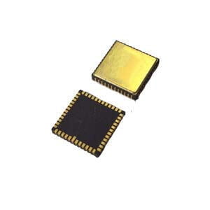
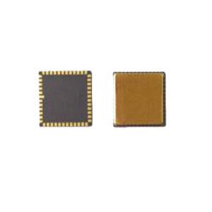
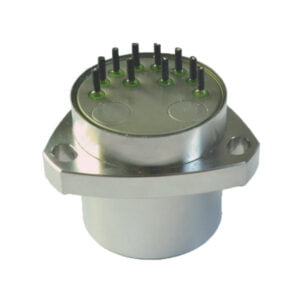
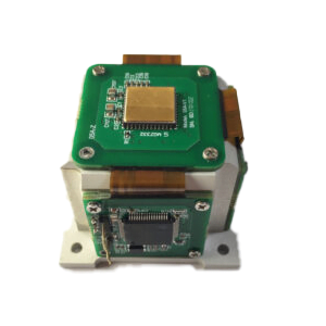
Products in Article
.jpg)