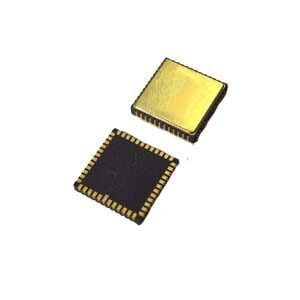
Have you ever experienced a sudden loss of GPS signal or position “drifting” when driving into a tunnel? This is the limitation of relying solely on global navigation satellite systems (GNSS, such as GPS and BeiDou) - it requires a wide view of the sky to receive satellite signals. So how do aircraft, drones and high-precision equipment maintain accurate navigation when the signal is briefly interrupted or when performing violent maneuvers? The answer is: integrated navigation systems.
The power of fusion: GNSS + INS
GNSS receivers: Provide absolute position, velocity and time information outdoors.
Inertial navigation systems (INS): Use accelerometers and gyroscopes (forming an inertial measurement unit - IMU) to track every movement - acceleration, rotation, direction change. It works completely autonomously, does not rely on external signals, and can operate at any time and any place.
The core is the fusion algorithm, When the GNSS signal is strong and stable, it is used to correct the accumulated errors of the INS.
When GNSS signals are blocked (tunnels, urban canyons, under dense trees) or unreliable (high-speed maneuvers), INS takes over seamlessly, providing continuous, smooth navigation information based on its last known precise position and accurate measurements of its own motion.
This is the best of both worlds: GNSS provides long-term, absolute accuracy, while INS provides short-term, high reliability and continuity.
ER-GNSS/MINS-07: High-performance integrated navigation, within reach
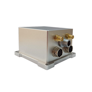
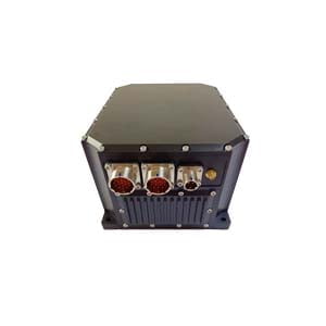
Traditional high-precision integrated navigation systems are often complex, bulky and expensive, and often require dual GNSS antennas to measure heading. ER-GNSS/MINS-07 breaks this situation! This compact and powerful device provides excellent integrated navigation performance at a disruptive price.
How does ER-GNSS/MINS-07 work? Core advantages revealed:
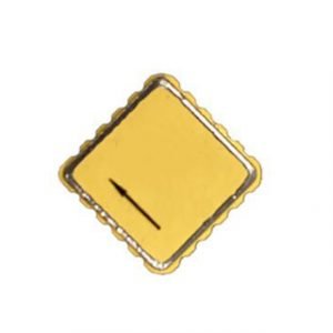
High-performance, low-cost MEMS IMU, full temperature compensation: Its core is equipped with a high-reliability MEMS IMU (accelerometer + gyroscope). The key is that it uses an advanced full-temperature range compensation algorithm (-40°C to +80°C) to ensure stable and reliable performance in harsh environments such as severe cold and heat, while significantly reducing costs.
Single antenna, full-system dual-frequency GNSS design: Different from the traditional complex and expensive dual-antenna solution, ER-GNSS/MINS-07 innovatively adopts a single antenna design and supports dual-frequency signals of global mainstream satellite systems such as Beidou, GPS, GLONASS, Galileo, QZSS, and SBAS. This not only simplifies the structure and reduces costs, but also achieves high-precision positioning and speed measurement.
Excellent combined navigation performance: Thanks to powerful fusion algorithms and optimized hardware, it can continuously output position, attitude (roll, pitch), heading and speed information. The attitude accuracy can reach 0.1°, the heading accuracy is also 0.1°, and the speed accuracy is 0.02 m/s. Even when the RTK signal is briefly interrupted (such as 30 seconds or 60 seconds), the system can still maintain high attitude and position accuracy with INS.
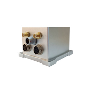
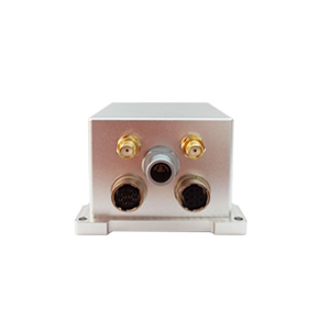
Rugged and reliable, with rich interfaces: It adopts a precision aluminum alloy shell to adapt to harsh environments such as land and aviation. It provides multiple communication interfaces such as RS422/RS232, CAN bus, TTL (NMEA output + RTCM input), and is equipped with standardized user protocols, which is easy to integrate into various platforms (such as drones and vehicle-mounted equipment).
Small size, big power: It measures only 40mm x 40mm x 45mm and consumes only about 3W, which is very suitable for applications that are sensitive to space and power consumption.
Summary:
ER-GNSS/MINS-07 perfectly interprets the value of modern integrated navigation systems: combining the absolute accuracy of GNSS with the autonomous continuity and high dynamic performance of INS. It provides professional-grade 0.1° attitude accuracy, 0.1° heading accuracy, 0.02m/s speed accuracy and strong environmental adaptability while significantly reducing costs through innovative single-antenna dual-frequency design, optimized low-cost MEMS IMU and advanced fusion algorithms. Whether you are developing drones, autonomous vehicles or any device that requires high-precision positioning, ER-GNSS/MINS-07 represents a high-performance and cost-effective integrated navigation solution.
Choose ER-GNSS/MINS-07 to ensure that your device can "know the situation and move forward accurately" in any environment!
More Technical Questions
1. What Is GNSS-aided MEMS INS and How Does It Work?
2. How to Improve the Performance of MEMS Inertial Navigation Systems?
3. Full-temperature Performance Optimization Method For MEMS accelerometer
4. Classification And Performance Improvement Of MEMS Gyroscope
5. MEMS Accelerometer Packaging Technology
6. Performance Analysis of GNSS RTK Timing


