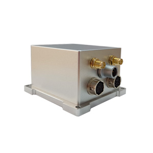
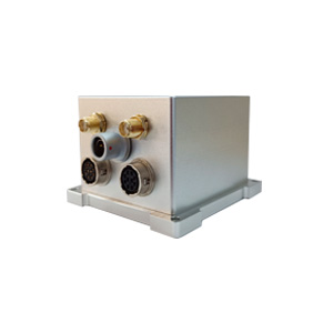
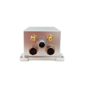
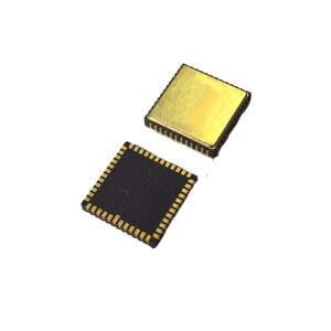
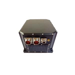
With the rapid development of unmanned systems and automation technology, the ER-GNSS/MINS-07 low-cost single-antenna integrated navigation system relies on its unique technical advantages and high cost performance to provide accurate, stable, cost-effective navigation solutions for unmanned aerial vehicles, flight recorders, autonomous driving systems and other scenarios.
ER-GNSS/MINS-07 has a highly reliable MEMS IMU and integrates a single-antenna full-system dual-frequency GNSS module, which can provide continuous, accurate and reliable positioning, attitude and speed information.
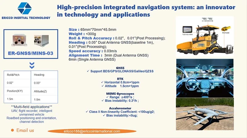
**Balance between high precision and low cost**
Real-time fusion of IMU, GNSS, barometer, and magnetometer data, using advanced integrated navigation algorithms, attitude (pitch/roll) and heading accuracy of 0.1°, speed accuracy (0.02m/s), meeting navigation needs in dynamic scenarios.
When the satellite signal is lost for 60 seconds, it can still maintain pitch/roll 0.1°, heading 0.2°, position X/Y direction 15 meters, height 3 meters, ensuring continuous and uninterrupted navigation data.
Gyro bias instability (3°/h) and accelerometer bias stability (0.1mg) ensure data reliability in dynamic environments.
**Single antenna full system dual-frequency GNSS module**
Full system compatibility: supports five major satellite systems including BDS/GPS/GLONASS/Galileo/QZSS, covers the world's mainstream navigation signals, and improves signal capture and anti-interference capabilities in complex environments.
Dual-frequency high-precision positioning: The antenna frequency points cover BDS B1L/B2A, GPS L1C/A/L5, etc., support RTK centimeter-level positioning (horizontal 1cm+1ppm, height 1.5cm+1ppm), single-point positioning horizontal accuracy 1.5m, height 3m, meet the positioning needs of different scenarios.
**Flexible interface and compact design**
Multiple communication interfaces: RS422, RS232 and CAN, compatible with standardized protocols in aviation, vehicle, industrial control and other fields, facilitating system integration and data interaction.
Lightweight and high reliability: Adopting precision aluminum alloy shell, the size is only 40mm×40mm×45mm, light weight, suitable for drones, vehicles and other scenes that are sensitive to volume and power consumption.
More Technical Questions
1. What Is GNSS-aided MEMS INS and How Does It Work?
2. How to Improve the Performance of MEMS Inertial Navigation Systems?
3. Full-temperature Performance Optimization Method For MEMS accelerometer
4. Classification And Performance Improvement Of MEMS Gyroscope
5. MEMS Accelerometer Packaging Technology
6. Performance Analysis of GNSS RTK Timing


