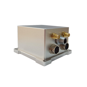
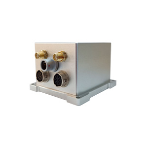
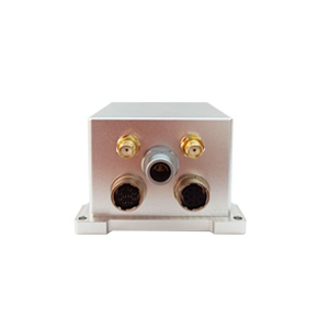
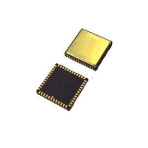
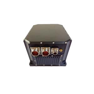
In the field of dynamic navigation, whether it is intelligent unmanned vehicles or urban mapping, high-precision positioning, attitude, and heading information are all crucial for ensuring the success of tasks. The ER-GNSS/MINS-01 MEMS integrated navigation system, through the deep integration of satellite positioning and inertial measurement technology, provides a survey-grade navigation solution, overcoming the limitations of a single system and achieving continuous, reliable, and ultra-high-precision data output, making it an ideal choice for complex environments.
Ultra-high precision, meeting strict requirements
The ER-GNSS/MINS-01 stands out with astonishing precision, with attitude accuracy reaching 0.01° (0.004° after post-processing) and heading accuracy reaching 0.05° (0.01° after post-processing). Even in the event of satellite signal loss, the system can maintain high-precision output for up to 60 seconds, ensuring uninterrupted navigation. Its built-in high-reliability MEMS gyroscope (zero bias instability < 0.02°/h) and accelerometer (zero bias instability < 2μg) provide a solid foundation for precise measurement.
Outstanding performance, adaptable to complex environments
Whether in extreme cold of -40°C or high temperatures of +80°C, the ER-GNSS/MINS-01 can operate stably. Through temperature compensation for the gyroscope and accelerometer, it ensures consistently excellent zero bias performance. Additionally, the system is equipped with a full-frequency dual-antenna GNSS module that supports RTK technology, enabling centimeter-level positioning and rapid orientation, significantly enhancing response speed and reliability in dynamic environments.
Flexible compatibility, seamless application in multiple scenarios
The ER-GNSS/MINS-01 offers a variety of communication interfaces (RS422/RS232/CAN/TTL), and standardized protocols allow for quick adaptation to different platforms, significantly reducing integration difficulty. Whether it is land vehicles, large drones, or underwater vehicles, it can be easily deployed to meet high-precision navigation requirements in multiple scenarios.
The ER-GNSS/MINS-01 MEMS integrated navigation system, with its survey-grade accuracy, strong environmental adaptability and flexible compatibility, has become the benchmark for industrial high-precision navigation. Whether it is urban mapping, hydrological measurement or autonomous driving, it can provide stable and reliable solutions, helping users achieve precise positioning and complete tasks efficiently in complex environments.
More Technical Questions
1. What Is GNSS-aided MEMS INS and How Does It Work?
2. How to Improve the Performance of MEMS Inertial Navigation Systems?
3. Full-temperature Performance Optimization Method For MEMS accelerometer
4. Classification And Performance Improvement Of MEMS Gyroscope
5. MEMS Accelerometer Packaging Technology
6. Performance Analysis of GNSS RTK Timing


