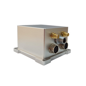
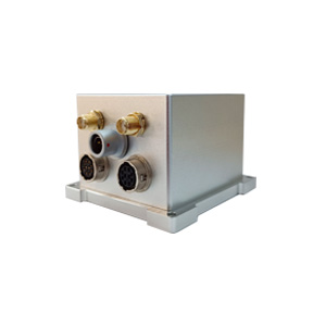
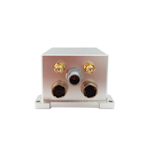
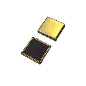
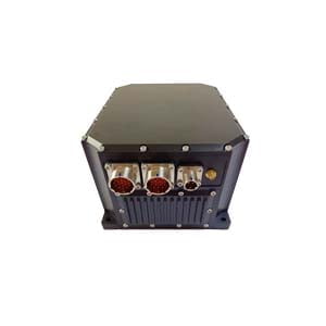
UAVs in tunnels suddenly lose control, deep-sea exploration robots drift in positioning, and self-driving cars get "lost" under overpasses - behind these scenes, the essence is the failure of single navigation technology in dynamic environments. Traditional solutions either rely on expensive high-end inertial devices or quickly collapse when the signal is interrupted. Today, ERICCO's ER-GNSS/MINS-03 combined navigation system is breaking through this dilemma with subversive cost-effectiveness.
Core logic: Why is "dual system" necessary?
The reliability of the navigation system depends on environmental adaptability and error control capabilities:
GNSS (satellite positioning): high accuracy in open environments, but signals are easily lost in tunnels/urban canyons;
INS (inertial navigation): fully autonomous, but errors accumulate over time.
The breakthrough of ER-GNSS/MINS-03 is:
Through algorithm-level fusion, the absolute accuracy of GNSS and the short-term stability of INS are mutually "insured":
When the satellite signal is good, INS calibrates the zero bias of the gyroscope and accelerometer in real time;
When the signal is interrupted, INS continues navigation based on the high-precision inertial reference (the loss of accuracy is controllable).
This "dual-system mutual error correction" mechanism has become the underlying pillar of continuous navigation in complex environments.
II. Key innovation: How to achieve "low cost and high reliability"?
▶ Tactical-grade MEMS inertial devices
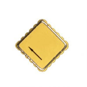
Equipped with tactical-grade high-precision and high-reliability MEMS gyroscopes (zero bias instability <0.3°/h) and high-precision MEMS accelerometers (zero bias instability <5ug), it can maintain excellent sensor performance while reducing costs.
▶ "Triple Defense" Design of Dual-antenna GNSS
Integrated dual-antenna full-system full-frequency positioning and orientation satellite modules, it can perform RTK positioning and dual-antenna orientation solution, single-antenna positioning and speed measurement, and dual-antenna rapid orientation. The satellite receiver has built-in anti-interference function, which can still provide accurate and reliable satellite positioning in complex electromagnetic environments;
▶Strong accuracy retention capability
In the environment where the satellite signal is lost, it maintains 30s of high-precision navigation, attitude (accuracy 0.01°), heading (accuracy 0.02°)
Summary
ER-GNSS/MINS-03 does not rely on the sky-high fiber optic gyroscope, and uses algorithm compensation to achieve the extreme stability of MEMS;
Without piling up hardware costs, it uses a dual-system coupling mechanism to build navigation resilience. We use a reasonable cost to obtain navigation performance comparable to high-end equipment.
Learn about this subversive cost-effective combined navigation tool now!
#UAV Technology #Autonomous Drone #Robot Navigation #Intelligent Transportation #Underwater Robot #Precise Positioning #Technology Frontier #Industrial Innovation #MEMS #GNSS #Combined Navigation #High Cost Performance #ERGNSSMINS03 #Engineering Solutions
More Technical Questions
1. What Is GNSS-aided MEMS INS and How Does It Work?
2. How to Improve the Performance of MEMS Inertial Navigation Systems?
3. Full-temperature Performance Optimization Method For MEMS accelerometer
4. Classification And Performance Improvement Of MEMS Gyroscope
5. MEMS Accelerometer Packaging Technology
6. Performance Analysis of GNSS RTK Timing


