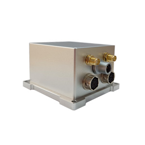
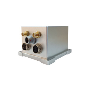
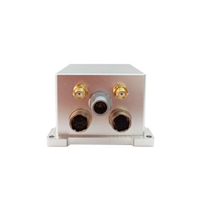
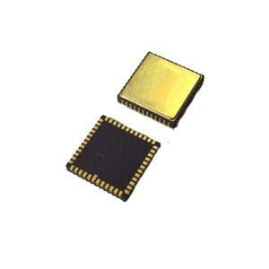
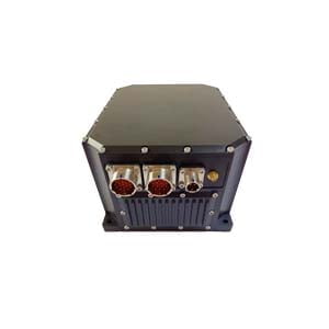
With the growing demand for drones, autonomous driving and high-precision mapping, multi-source fusion navigation systems have become the core technology to break through the bottleneck of positioning in complex environments. As a combined device integrating GNSS and MEMS inertial navigation, ER-GNSS/MINS-01 can maintain high-precision navigation for a long time in the event of GNSS interruption.
Our integrated navigation ER-GNSS/MINS-01 has ultra-high precision at the surveying and mapping level. It can provide continuous high-precision position, speed, heading and attitude information. It is widely used in large unmanned aerial vehicles, mobile mapping, geographic information collection, urban intelligent transportation, hydrological measurement and other applications.
**Surveying-level high-precision navigation**
The integrated navigation information provided has a roll and pitch accuracy of up to 0.01° and post-processing of 0.004°. The heading can reach 0.05°, 0.01° after post-processing, and the speed accuracy can reach 0.03m/s.
Supports RTK positioning. In the case of RTK interruption for 60 seconds, the roll and pitch accuracy can be maintained at 0.01°, and the heading accuracy can be maintained at 0.01°. The position is maintained at 0.5m and the height is maintained at 0.1m.
**Navigation-grade sensor, high-precision perception**
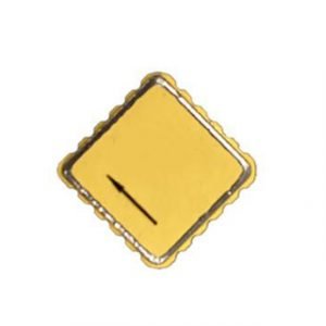
Built-in MEMS gyroscope and accelerometer, the gyroscope measurement range is ±200°/s, and the bias instability is <0.02°/h. The measurement range of the accelerometer is ±60g, and the bias instability (Allen curve) is <2ug.
**Full frequency point full system**
Built-in full frequency point full system dual antenna positioning and orientation GNSS module, can perform high-precision and fast positioning and orientation, and can obtain the best positioning effect at any location in the world.
The built-in satellite receiver has strong anti-interference ability and can still provide accurate positioning in complex electromagnetic environments.
**Lightweight and high reliability**
300g lightweight aluminum alloy shell, measuring only 65×70×45.5mm, can be easily embedded in small spaces;
Supports multiple communication interfaces (RS422, RS232, CAN and TTL), comes standard with standardized user protocols, is compatible with various systems, and greatly reduces integration development costs.
More Technical Questions
1. What Is GNSS-aided MEMS INS and How Does It Work?
2. How to Improve the Performance of MEMS Inertial Navigation Systems?
3. Full-temperature Performance Optimization Method For MEMS accelerometer
4. Classification And Performance Improvement Of MEMS Gyroscope
5. MEMS Accelerometer Packaging Technology
6. Performance Analysis of GNSS RTK Timing


