How to achieve continuous high-precision navigation in complex environments while controlling costs?
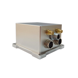
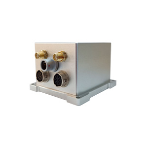
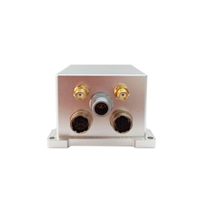
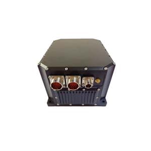
ER-GNSS/MINS-03 MEMS integrated navigation system is redefining the balance between cost performance and reliability with the following three major technological breakthroughs:
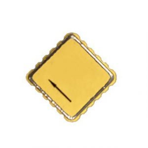
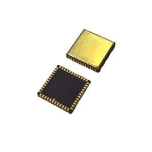
1.Hardware cornerstone: tactical-grade MEMS inertial devices
✅ High-reliability MEMS gyroscope:
- Bias instability <0.3°/h
- Angle random walk <0.125°/√h
→ Ensure that the attitude angle drift rate is extremely low
✅ High-precision MEMS accelerometer:
- Bias instability <5μg
- Wide temperature compensation (-40℃~+80℃)
→ Suppress speed/position estimation errors
▶ Result: When the GNSS signal is lost, the system can rely on the IMU physical layer data to maintain short-term high-precision output, and strive for a critical time window for the algorithm.
2.Algorithm core: "anti-disconnection" capability of fusion algorithm
Raw data level fusion: jointly solve the satellite raw carrier phase, pseudo-range data and IMU raw data
Real-time error suppression: dynamically compensate for satellite signal distortion caused by multipath effect and electromagnetic interference
Seamless switching mechanism:
│ When GNSS is normal, output 0.02° attitude / 0.05° heading / accurate RTK positioning
│ Signal interruption within 30 seconds → Maintain 0.01° attitude / 0.02° heading / 0.5m positioning accuracy
│ Interruption within 60 seconds, heading accuracy only decays to 0.03°
▶ Value: When passing through tunnels and urban canyons, the system does not degrade or lose control.
3.System design: dual-antenna GNSS, anti-interference design
Single sensor has inherent limitations. ER-GNSS/MINS-03 builds triple insurance through system-level innovation:
Full-band full-system dual-antenna GNSS:
- Support Beidou/GPS/GLONASS/Galileo/QZSS all mainstream constellations
- Dual-antenna differential orientation: 0.05° heading accuracy with a baseline of 2 meters (0.01° after post-processing)
- Maintain stable lock in complex electromagnetic environments (such as high-voltage lines, radar stations)
Multi-source data cross-validation:
- IMU data corrects satellite multipath errors in real time
- GNSS position information suppresses IMU zero bias drift
Conclusion: The key to continuous high-precision navigation lies in "co-evolution"
The success of ER-GNSS/MINS-03 does not rely on a single technological leap, but through:
Hardware layer (tactical MEMS inertial device) → Algorithm layer (advanced fusion) → The three-dimensional collaborative design of the system layer (dual antenna anti-interference) pushes the reliability of MEMS combined navigation to a new level under the premise of controllable cost. When your device needs to "not lose direction" in the GNSS blind area and "not lose position" under electromagnetic interference, this system is born to solve the problem of continuous high-precision navigation.
More Technical Questions
1. What Is GNSS-aided MEMS INS and How Does It Work?
2. How to Improve the Performance of MEMS Inertial Navigation Systems?
3. Full-temperature Performance Optimization Method For MEMS accelerometer
4. Classification And Performance Improvement Of MEMS Gyroscope
5. MEMS Accelerometer Packaging Technology
6. Performance Analysis of GNSS RTK Timing


