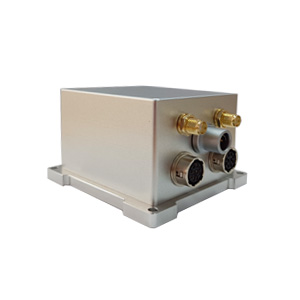
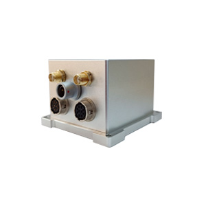
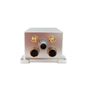
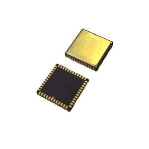
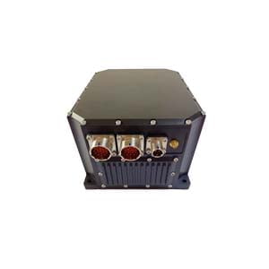
In the field of autonomous drone flight, precise survey of unmanned boats, and even autonomous driving, are you curious: when the satellite signal is blocked by a tall building or passes through a tunnel, how can the equipment maintain accurate positioning and stable heading? Let's take the ER-GNSS/MINS-01 ultra-high precision combined navigation system as an example to uncover the secret of its collaborative work.
When GNSS meets MEMS INS
GNSS: Relying on satellite signals to provide absolute position, speed and time information (such as Beidou, GPS), it has extremely high accuracy in open environments. However, its signals are easily blocked (urban canyons, tunnels, shade of trees), and the update rate is limited.
MEMS INS: Continuously measure the movement changes of the carrier at every moment through high-precision MEMS gyroscopes and accelerometers. It does not rely on external signals, and autonomously calculates position, speed and attitude with a very high update rate. However, inertial sensors have small errors (such as gyro bias instability <0.02°/h), which will accumulate over time and cause navigation information drift.
The core breakthrough of ER-GNSS/MINS-01 is to perfectly integrate the advantages of both and overcome their respective defects through algorithms.
The core of collaborative work: fusion algorithm
The core algorithm works in real time: It is like a "data coordination master", constantly comparing GNSS data with INS calculation results. The absolute accuracy of GNSS is used to correct the tiny errors of INS sensors in real time, and the high-frequency data of INS is used to smooth the GNSS output to provide more stable and smoother navigation information. At this time, ER-GNSS/MINS-01 can output mapping-level navigation information, such as attitude accuracy of 0.01°.
When the GNSS signal is temporarily lost or interfered with (such as entering a tunnel or between high-rise buildings):
GNSS information is temporarily unavailable.
MEMS INS immediately "takes the lead", relying on the previously accurately calibrated sensors, using the acceleration and angular velocity measured by them, to autonomously and frequently continuously calculate the position, velocity and attitude changes of the carrier.
The key advantages of ER-GNSS/MINS-01 are revealed: With its built-in navigation-grade MEMS sensors (gyro bias instability <0.02°/h, accelerometer bias instability <2ug) and advanced algorithm models (including temperature compensation, etc.), it can maintain high-precision navigation output for up to 60 seconds after GNSS signal interruption, such as attitude accuracy 0.01° and heading accuracy 0.01°! This provides a valuable time window for the device to traverse complex environments.
When the GNSS signal is restored:
GNSS re-provides absolute position and velocity information.
The fusion algorithm is started again, quickly "pulling back" the position calculated by the INS to the accurate position provided by the GNSS, and recalibrating the error parameters of the INS to prepare for the next possible interruption. Post-processing technology can further optimize the data to achieve higher accuracy (such as attitude 0.004°, heading 0.01°).
ER-GNSS/MINS-01: A benchmark for MEMS combined navigation
This product maximizes the effectiveness of collaborative work:
Dual-antenna GNSS fast orientation: Built-in full-band full-system dual-antenna module, it can quickly provide high-precision initial heading (0.05°) when powered on, which is the key starting point for INS precise work.
Ultra-high-precision MEMS sensor: The use of gyroscopes with zero bias stability <0.02°/h and accelerometers <2ug ensures the accuracy of inertial calculation from the source, which is the cornerstone of high-precision maintenance.
Intelligent fusion and compensation: Advanced algorithms fuse GNSS and INS data, and perform temperature compensation within a wide temperature range (-40℃~+80℃) to ensure stable sensor performance.
Strong environmental adaptability: Whether it is signal obstruction encountered in urban surveying and mapping, high-speed maneuvers of drones, or navigation of unmanned boats in surges, its combined navigation solution can provide continuous, reliable, ultra-high-precision position, speed, attitude and heading information.
Summary
MEMS integrated navigation uses precise sensors (such as navigation-grade MEMS devices in ER-GNSS/MINS-01) and intelligent algorithms to enable GNSS and INS to deeply collaborate and complement each other in time and space. It solves the fatal weakness of a single system and can continue to output reliable and high-precision navigation information in complex, dynamic and even signal-missing environments, becoming the core engine of modern high-precision positioning, orientation and attitude perception.
More Technical Questions
1. What Is GNSS-aided MEMS INS and How Does It Work?
2. How to Improve the Performance of MEMS Inertial Navigation Systems?
3. Full-temperature Performance Optimization Method For MEMS accelerometer
4. Classification And Performance Improvement Of MEMS Gyroscope
5. MEMS Accelerometer Packaging Technology
6. Performance Analysis of GNSS RTK Timing


