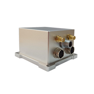
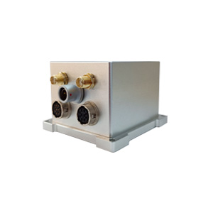
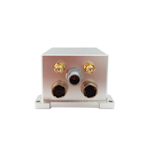
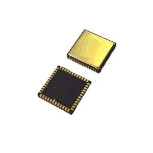
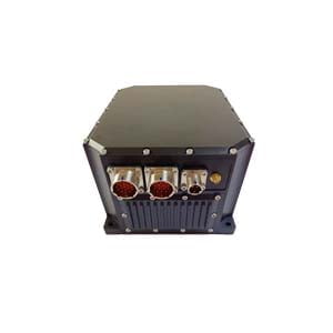
In the field of unmanned systems and aviation, accurate navigation is the key to success. However, extreme temperatures, signal obstruction or dynamic environments often cause traditional solutions to fail. The ER-GNSS/MIN-03 high-precision MEMS integrated navigation system, with its innovative multi-source fusion technology and industrial-grade reliability, is redefining the limits of navigation performance in complex scenarios.
Why choose ER-GNSS/MIN-03?
1. High-precision MEMS sensor performance
Equipped with a MEMS gyroscope with bias instability <0.3°/h and an accelerometer <5μg, it is small in size and light in weight.
Full temperature compensation technology (-40℃~+80℃) ensures that the sensor maintains stable output in extreme environments, suitable for aviation and field operations.
2. Dual-antenna GNSS and multi-source fusion algorithm
Full-system full-band dual-antenna design supports RTK high-precision positioning (single antenna) and fast orientation (dual antenna), with a heading accuracy of 0.05° (0.01° after post-processing).
The original fusion algorithm provides seamless positioning and attitude data through inertial navigation when the GNSS signal is interrupted (such as in tunnels and between buildings).
3. Maintain high accuracy even when the satellite signal is lost
After 30 seconds of loss of lock, the attitude maintenance accuracy can reach 0.01°, and the heading maintenance accuracy can reach 0.02°
After 60 seconds of loss of lock, the attitude maintenance accuracy can reach 0.02°, and the heading maintenance accuracy can reach 0.03°
4. Born for harsh environments
Adopting the latest strapdown inertial navigation technology, it is shock-resistant and supports aviation vibration environments.
Multi-interface compatibility (RS422/RS232/CAN) makes it easy to integrate into existing unmanned systems or vehicle-mounted platforms
Empowering industry innovation
UAVs and intelligent aircraft
Achieve precise hovering, autonomous obstacle avoidance and complex track tracking, suitable for logistics drones, power inspections and other scenarios.
Roadbed positioning and channel detection
In tunnels or underground spaces without GNSS signals, it provides continuous position and attitude output to ensure operational safety.
Flight recorder (black box)
High-reliability data recording meets the stringent requirements of navigation accuracy for aviation accident analysis.
Technology is the future
ER-GNSS/MIN-03 combines the compactness of MEMS sensors with the global accuracy of GNSS, redefining navigation standards in complex environments. Whether it is the aviation field that pursues extreme performance or the unmanned system that requires cost control, it can provide reliable technical support.
We look forward to exploring more possibilities with industry partners!
#MEMS navigation #unmannedsystem #high-precision positioning #aviation technology #autonomous driving
More Technical Questions
1. What Is GNSS-aided MEMS INS and How Does It Work?
2. How to Improve the Performance of MEMS Inertial Navigation Systems?
3. Full-temperature Performance Optimization Method For MEMS accelerometer
4. Classification And Performance Improvement Of MEMS Gyroscope
5. MEMS Accelerometer Packaging Technology
6. Performance Analysis of GNSS RTK Timing


