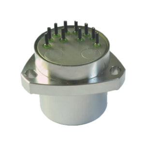
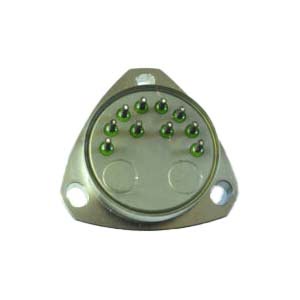
The inertial navigation system can obtain the instantaneous velocity and position data of the aircraft by measuring the acceleration of the aircraft and automatically integrating the data. The equipment of the inertial navigation system is installed in the carrier body, and does not rely on external information when working, nor does it radiate energy to the outside world, which is not easy to be interfered with.
Inertial navigation system usually consists of inertial measurement device, computer, control display and so on. The inertial measurement unit includes an accelerometer and a gyroscope, also known as an inertial measurement unit. The three degrees of freedom gyroscope is used to measure the three rotational motions of the carrier. Three accelerometers are used to measure the acceleration of the three translational motions of the carrier. According to the measured acceleration signal, the computer calculates the velocity and position data of the carrier. The control display displays various navigation parameters.
According to the mounting method of inertial measurement unit on the carrier, it is divided into platform inertial navigation system (inertial measurement unit is installed on the body of the inertial platform) and strapdown inertial navigation system (inertial measurement unit is directly installed on the carrier). The latter eliminates the platform, the instrument's working conditions are poor (affecting accuracy), and the calculation workload is large.
Platform type
According to the different coordinate system, it can be divided into two working modes: spatial stability and local level. The platform body of a spatially stable platform inertial navigation system is relatively stable in inertial space, which is used to establish an inertial coordinate system. The effects of the earth's rotation and acceleration of gravity are compensated by computers. This kind of system is mostly used in the active segment of the launch vehicle and some spacecraft. The characteristic of the local horizontal platform inertial navigation system is that the reference plane formed by the two accelerometer input axes on the platform body can always track the horizontal plane of the aircraft point (using the accelerometer and gyroscope to form a shura loop to ensure), so the accelerometer is not affected by the gravitational acceleration. This kind of system is mostly used for aircraft (such as aircraft, cruise missiles, etc.) moving at a constant speed along the Earth's surface. In the platform inertial navigation system, the frame can isolate the angular vibration of the aircraft, and the instrument works well. The platform can directly establish the navigation coordinate system, the calculation is small, easy to compensate and correct the output of the instrument, but the structure is complex and the size is large.
Strapdown
According to the different gyroscopes used, it can be divided into rate strapdown inertial navigation system and position strapdown inertial navigation system. The former uses rate gyroscope to output instantaneous mean angular velocity vector signal; The latter uses a free gyroscope to output an angular displacement signal. The strapdown inertial navigation system saves the platform, so it has simple structure, small volume and easy maintenance.
Inertial navigation system has the following advantages:

1. because it is not dependent on any external information, nor to the external radiation energy of autonomous system, therefore it has good concealment, is not affected by the outside electromagnetic interference;
2. Can work in the air, earth surface and even under water all day and all time;
3. The location, speed, course and attitude Angle data can be provided, and the navigation information generated is continuous and low noise;
4. High data update rate, short term accuracy and good stability.
The disadvantages are :
1.Due to the integration of the navigation information, the positioning error increases with time and the long-term accuracy is poor.
2. Long initial alignment time is required before each use;
3. The equipment is more expensive;
4. No time information can be given.
More Technical Questions
1.Inertial Navigation System (INS)
2.What is INS and How does it Work?
3.What is Inertial Navigation System?
4.In Autonomous Flight: How Inertial Navigation Systems Work
5.Development and Application of Inertial Navigation System
6.Introduction to Inertial Navigation Systems
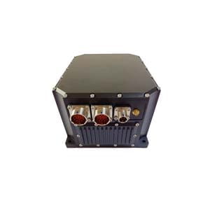
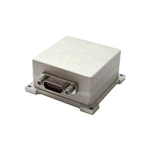
Products in Article
.jpg)
