GNSS is the abbreviation of Global Navigation Satellite System,which refer to all satellite navigation system, including the global, regional, enhanced. Currently global positioning navigation system have American GPS, Russian Glonass,European Galileo and Chinese Beidou satellite navigation system. International GNSS system is a complicated combined system with multi-system ,multi-level, multi-module. All GNSS are adopt the same basic working principle, just the methods of achieving navigation positioning can be various. GPS is a pioneer of GNSS technology, and the earliest fully functional GNSS that has been put into full operation.
The working principle of GNSS is same to use the distance between the known location satellite and user receiver to obtain the receiver’s specific location. Simply, each satellite had been installed the high precision atomic clock to ensure the on-orbit satellite and ground time synchronization, at the same time, satellite will constantly transmit its location and time information to the ground, the time of signal by receiver receive is again compare to the the time of satellite transmit signal, at the same time combine the location information of satellite will get the the distance between user receive and satellite.
As our living environment is a three-dimensional space, so if you want to confirm the specific of any one point, and then need to three satellite to obtain the receiver’s location. The specific location of the receiver is determined by the intersection of sphere the distance three satellite each with receiver as radius. Due to the atomic clock on the satellite and ground time ate will always have time error,so there will be 4 variable in the three-dimensional space, 4 variable require 4 equation, but the set of equations obtained from 4 mutual independent satellite. This could be achieved so long as there are at least 4 observable satellite on any part of earth.
The GNSS positioning principle is based on the constant propagation speed of radio waves and the linear nature of the propagation path. By measuring the propagation time of radio waves in space, the distance difference, distance and measurement value between the satellite with a distance difference and the antenna of the user's receiver are determined. Then, these distance differences are taken as the radius for three-sphere intersection, and the user's position is solved according to the simultaneous equation.
Applications of GNSS
Navigation
The GNSS module designed according to GNSS positioning technology can be applied in the network of vehicles: For example, vehicle positioning: for some large vehicles, excavators, concrete vehicles, logistics vehicles, etc., how to ensure that the operation within the specified time and place is a very concerned issue for the operating company. The in-vehicle positioning and navigation system with embedded GNSS positioning modules automatically connects these vehicles to the company's service platform for effective control.
Measure
By using the carrier phase difference technology (RTK) in the global satellite navigation system, its measurement accuracy can reach the unit of centimeters. Compared with the traditional manual measurement, it has the advantages of high precision, easy operation, portable measuring equipment, all-weather operation, no need to see between measuring points. Global satellite positioning technology has been widely used in geodesy, crustal movement, resource exploration, cadastral survey and other fields.
Agriculture
Many countries have used the global satellite navigation system for agricultural development, which can locate farmland information, monitor output, collect soil samples, etc., and then analyze and process the collected data through the computer system to develop more scientific farmland management measures. It can also load farmland information such as yield and soil status into the sprayer with GPS equipment, which can accurately use the amount of fertilizer and spray in the process of fertilizing the farmland, which can reduce the pollution caused by fertilizers and pesticides on the environment.
For more information, please feel free to contact info@ericcointernational.com
More Technical Questions
1.Some Questions about GNSS Antenna
4.The Difference and Connection between GPS and GNSS
5.High-precision GNSS receiver design
6.GNSS and High Precision DF Positioning Board
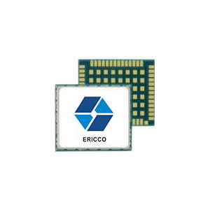
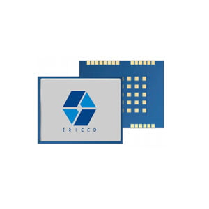
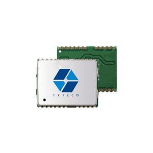
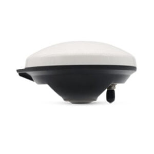
Products in Article