
Ericco provides high reliability and low cost GPS/BEIDOU/GLONASS Satellite Positioning/Orientation/Timing/Navigation Module to the customers worldwide, the quality and after service are proven to be well guaranteed. Just come and get more details with us.
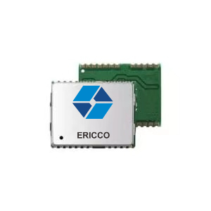
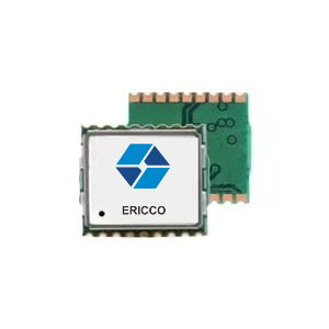
Standard Precision GNSS Navigation and Positioning Module
ER-GNSS-M04
1.Universal size GNSS module, hardware compatible with previous products, mainstream GPS module, easy to replace;
2. Excellent navigation and positioning performance, supporting single system independent;
3. Positioning and multi-system joint positioning.
