In today's digitally driven world, accurate positioning is fundamental to various applications, from navigation and surveying to precision agriculture and autonomous vehicles. Real-Time Kinematic (RTK) GPS is a revolutionary technology that has transformed the accuracy and reliability of GPS positioning. In this article, we delve into the intricacies of RTK GPS, exploring how it works, its advantages, applications, and its role in shaping diverse industries.
1.What is RTK GPS?
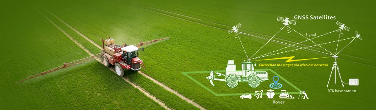
RTK GPS stands for Real-Time Kinematic Global Positioning System. It is a satellite-based navigation system that provides highly accurate positioning information in real-time. Unlike conventional GPS systems, which typically offer accuracy within several meters, RTK GPS can achieve centimeter-level accuracy, making it invaluable for applications that require precise positioning data.
2.How does RTK GPS work?
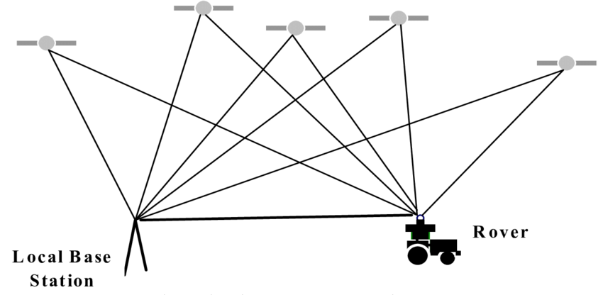
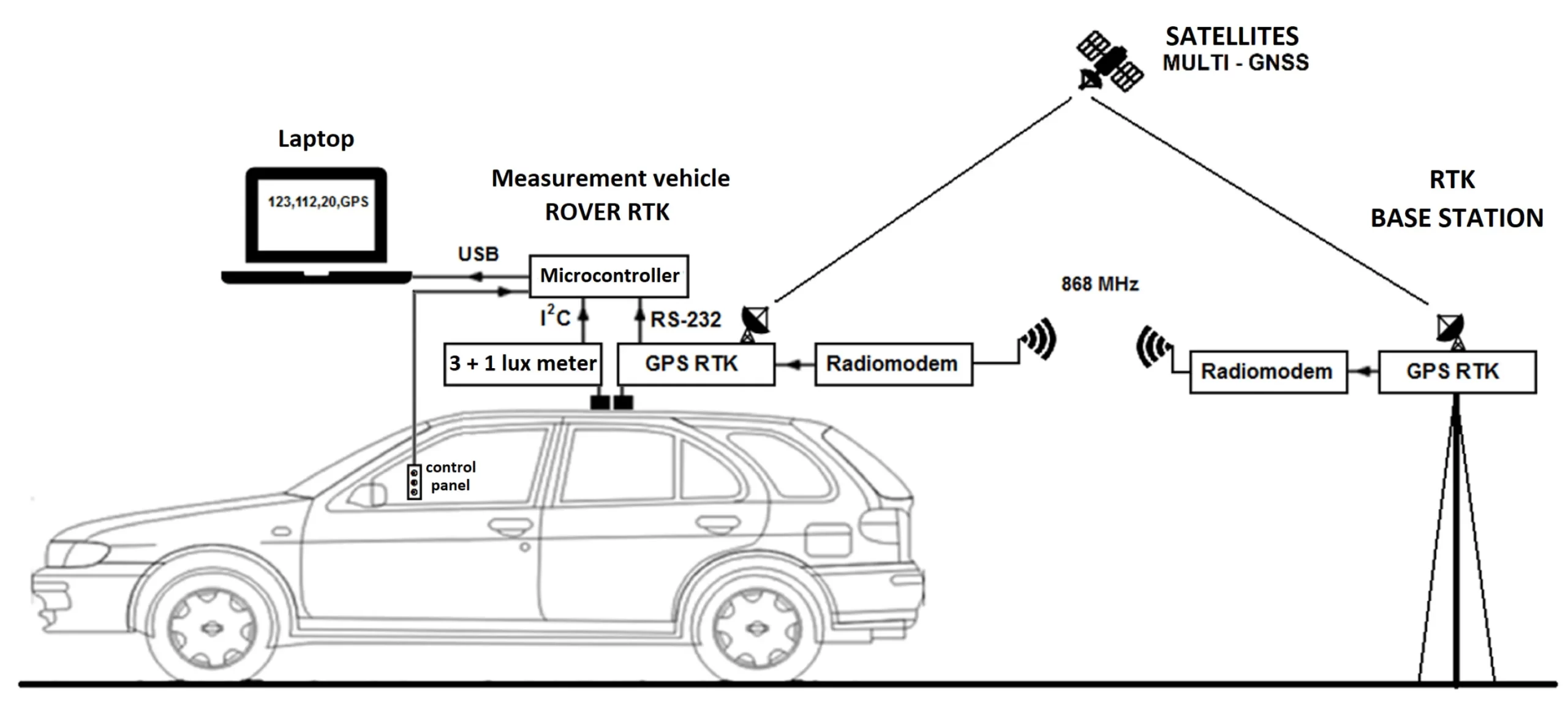
At the core of RTK GPS technology is a process called kinematic positioning. RTK GPS systems consist of two main components: a base station and a rover receiver. The base station, typically placed at a known location with a precisely determined position, receives signals from GPS satellites and calculates corrections for errors in the positioning data. These corrections are then transmitted to the rover receiver, which is mounted on a moving object or device. The rover receiver uses the corrections received from the base station to refine its own GPS measurements in real-time, resulting in highly accurate positioning information.
3.Advantages of RTK GPS:
One of the most important features of RTK GPS is its ability to provide highly accurate positioning data. This is achieved by using a local base station in addition to satellite signals, which allows the system to correct for any errors that may be present in the GPS data. This can provide positioning data that is accurate to within centimeters, making it ideal for a wide range of applications.
Another key feature of RTK GPS is its ability to provide real-time data. Because the system uses a local base station in addition to satellite signals, it can provide real-time data that is accurate to within milliseconds. This makes it ideal for applications that require real-time navigation, such as autonomous vehicles and drones.
In addition to its high accuracy and real-time capabilities, RTK GPS also offers a number of other features that make it ideal for a wide range of applications. These include:
Long battery life: Because the system uses a local base station in addition to satellite signals, it can operate for longer periods of time without needing to be recharged.
Robustness: RTK GPS systems are designed to be robust and reliable, even in difficult environments. This makes them ideal for use in rugged terrain and other challenging conditions.
Low cost: Compared to other types of high-accuracy GPS systems, RTK GPS is relatively inexpensive. This makes it accessible to a wide range of users, from individual surveyors to large construction companies.
4.Applications of RTK GPS:
RTK GPS technology is utilized in numerous sensor applications, notably positioning modules, and extends its benefits across diverse industries and sectors, including:
Precision Agriculture: RTK GPS enables farmers to precisely navigate their equipment, apply fertilizers and pesticides with accuracy, and create detailed field maps for yield optimization.
Construction and Surveying: In construction and surveying projects, RTK GPS facilitates precise measurement, layout, and machine control, leading to improved efficiency and reduced costs.
Autonomous Vehicles: RTK GPS plays a crucial role in the development and operation of autonomous vehicles by providing accurate positioning data for navigation and control.
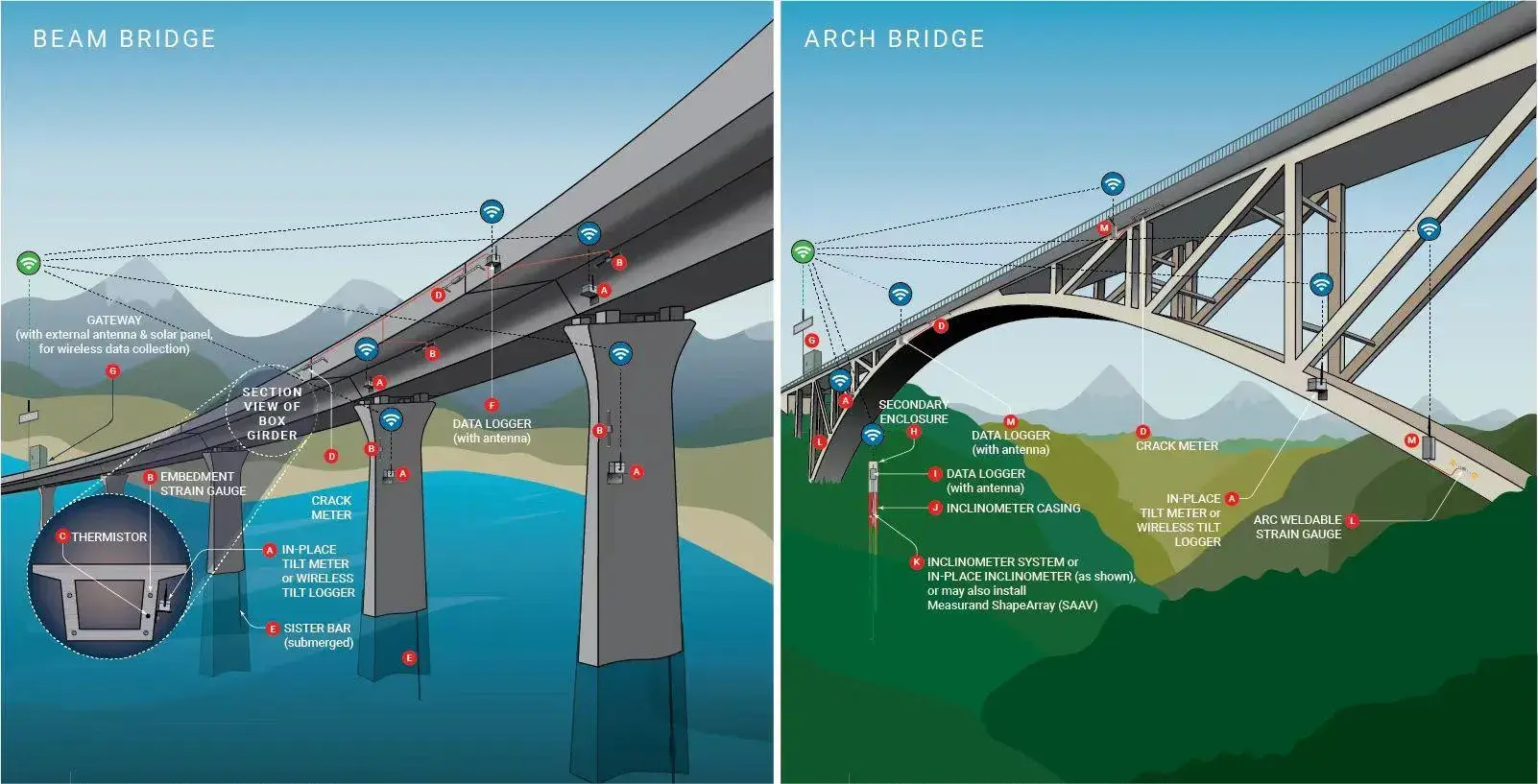
Infrastructure Monitoring: RTK GPS is used for monitoring and managing critical infrastructure such as bridges, dams, and pipelines, helping detect movements and deformations with high precision.
5.Summary
RTK GPS technology represents a significant advancement in the field of positioning and navigation. With its ability to provide centimeter-level accuracy in real-time, RTK GPS has become indispensable in numerous industries, driving innovation and efficiency. As technology continues to evolve, the applications and benefits of RTK GPS are expected to expand further, paving the way for new possibilities in precision positioning and beyond.
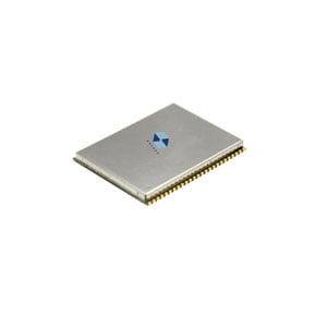
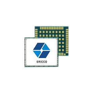
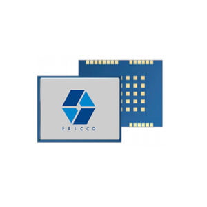
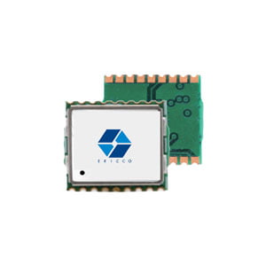
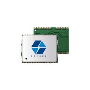
Moreover, the ER-GNSS-M02 positioning module provides robust support for multi-frequency positioning across all major satellite constellations, including Beidou, GPS, GLONASS, Galileo, QZSS, and NavIC. With its high-precision RTK algorithm engine, achieving centimeter-level positioning accuracy becomes effortless.
Additionally, the module comes equipped with an integrated Inertial Measurement Unit (IMU) and employs a tight combination algorithm, ensuring seamless and continuous navigation and positioning output. Its compact size, minimal power consumption, and ease of system integration make it an ideal choice for various applications. Furthermore, the module supports long baseline RTK solutions and boasts fast initialization times, enhancing its versatility and usability.
More Technical Questions
1. Understanding the Full System GNSS Board
2. Maximizing GNSS Applications in Land Vehicles Systems
3. 5 Proven Methods to Ensure Your GNSS Security
4. Enhance Navigation Accuracy: Advancements in GNSS INS Integration
5. Analysis of Spoofing Detection and Mitigation Techniques for GNSS
6. Construction Surveying: Unleashing New Energy with the Help of GNSS
Products in Article