

Introduction
As autonomous systems become increasingly common across UAVs, robotics, marine navigation, intelligent vehicles, and industrial automation, engineers are placing greater emphasis on reliable motion sensing and navigation technologies.
Among the most frequently discussed solutions are the Attitude and Heading Reference System (AHRS) and the Inertial Navigation System (INS). Because both technologies rely on inertial sensors such as gyroscopes and accelerometers, they are often confused with one another. In reality, they serve different engineering purposes.
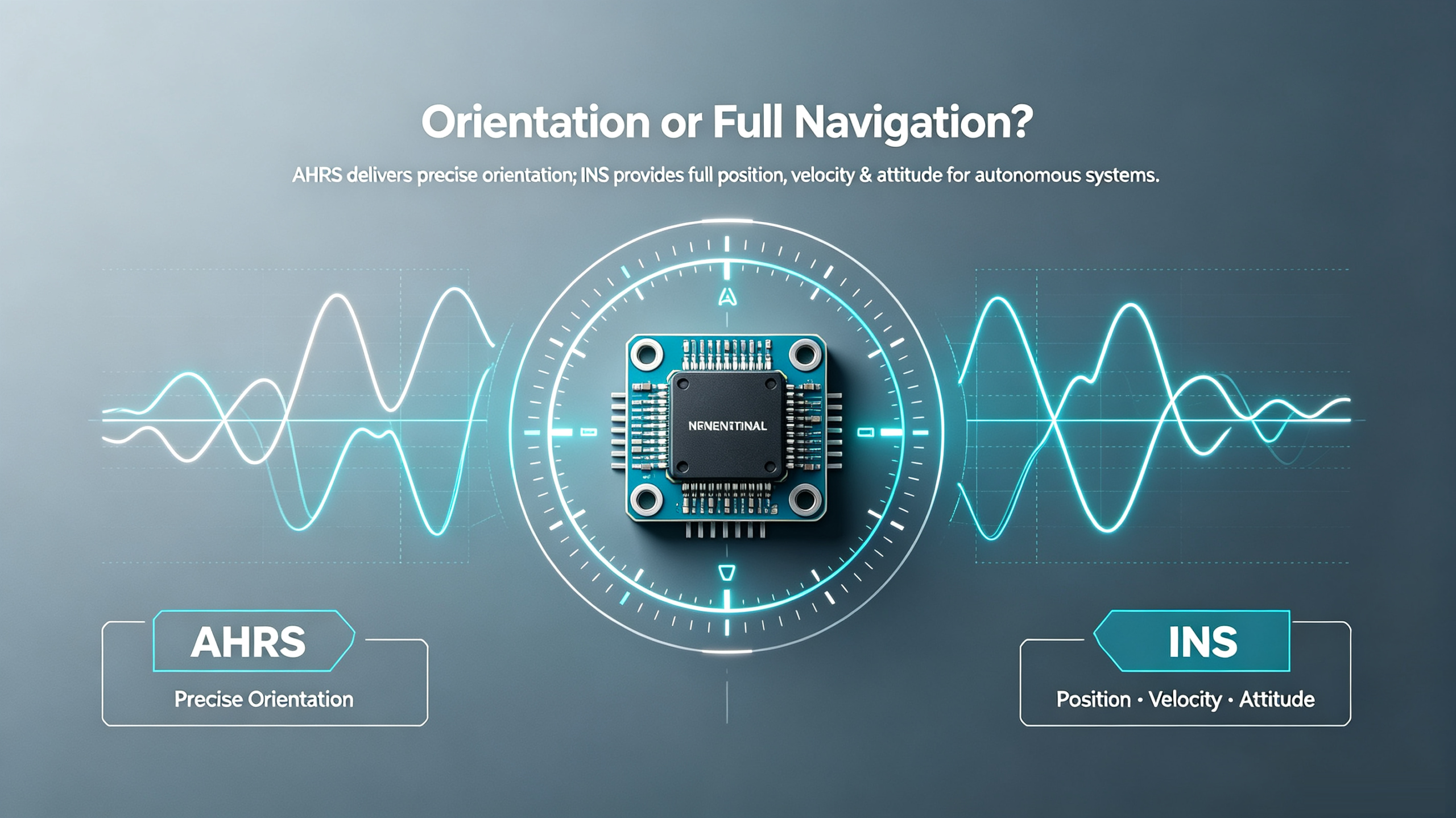
An AHRS is primarily designed to determine a platform's orientation, providing real-time roll, pitch, and heading information. An INS extends these capabilities by continuously calculating position, velocity, and attitude, making it suitable for autonomous navigation and high-precision positioning.
Selecting the wrong system can increase development costs, reduce navigation accuracy, or add unnecessary hardware complexity. This guide explains the differences between AHRS and INS, compares their architectures and performance, and demonstrates how to choose the right solution for different industrial applications.
What is an AHRS?
An Attitude and Heading Reference System (AHRS) is an integrated navigation sensor that calculates the orientation of a moving platform by combining measurements from a gyroscope, accelerometer, magnetometer, and sensor-fusion algorithm.
Unlike a standard IMU, which outputs raw inertial data, an AHRS performs internal attitude calculations and directly outputs:
- Roll angle
- Pitch angle
- Heading angle
- Angular velocity
- Linear acceleration
This greatly reduces software development complexity because users do not need to implement their own Kalman filter or attitude estimation algorithm.
AHRS is widely used in:
- UAV flight stabilization
- Marine heading reference
- Robotic motion control
- Camera gimbals
- Antenna stabilization
- Industrial automation
ERICCO Industrial AHRS Solution
Taking the ER-AHRS-5 as an example, ERICCO integrates industrial-grade MEMS sensors and advanced data-fusion algorithms into a compact 10-axis attitude reference system. According to the official specifications, the product features:
| Specification | ER-AHRS-5 |
|---|---|
| Sensor Configuration | 10-Axis (3-axis gyroscope, 3-axis accelerometer, 3-axis magnetometer, barometer) |
| Roll & Pitch Accuracy | 0.3° |
| Absolute Heading Accuracy | <0.5° |
| Gyroscope Bias Instability | ≤3°/h |
| Angle Random Walk | ≤0.21°/√h |
| Output Rate | 200 Hz |
| Operating Temperature | -40°C to +80°C |
| Supply Voltage | 5–12 V |
| Power Consumption | ≤0.5 W |
| Communication Interfaces | RS232, RS422, CAN |
| Dimensions | 40 × 40 × 24 mm |
The system also integrates a high-resolution barometer with a 10 cm altitude resolution and a three-axis magnetometer with a measurement range of ±800 μT, improving attitude estimation under complex environmental conditions.
These characteristics make the ER-AHRS-5 suitable for UAVs, marine vessels, robots, vehicles, and other industrial platforms requiring stable and accurate orientation information.
What is an INS?
An Inertial Navigation System (INS) is a complete navigation solution that calculates not only attitude but also position and velocity.
A typical INS consists of:
- IMU
- Navigation processor
- Sensor-fusion algorithm
- GNSS receiver (commonly integrated)
- Dead-reckoning algorithm
Unlike an AHRS, which focuses on orientation, an INS continuously integrates inertial measurements to estimate movement over time.
Typical INS outputs include:
- Latitude
- Longitude
- Altitude
- Velocity
- Roll
- Pitch
- Heading
Because of these capabilities, INS systems are widely adopted in:
- UAV mapping
- Autonomous vehicles
- Marine navigation
- Precision agriculture
- Railway inspection
- Mobile mapping
- Oil & gas directional drilling
AHRS vs INS: What's the Difference?
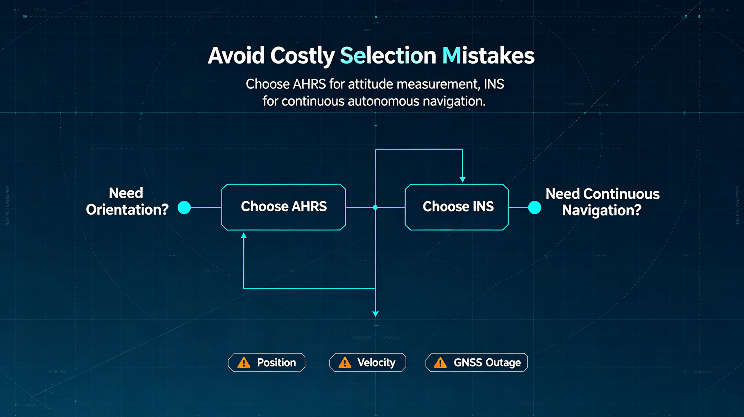
Although AHRS and INS share similar sensing hardware, they are designed for different levels of navigation capability.
| Feature | AHRS | INS |
|---|---|---|
| Roll & Pitch | ✔ | ✔ |
| Heading | ✔ | ✔ |
| Position | ✘ | ✔ |
| Velocity | ✘ | ✔ |
| Dead Reckoning | ✘ | ✔ |
| GNSS Integration | Optional | Common |
| Navigation Capability | Orientation | Complete Navigation |
| Software Complexity | Lower | Higher |
| Typical Cost | Lower | Higher |
A simple way to understand the difference is:
- AHRS answers: Which direction am I facing?
- INS answers: Where am I, where am I going, and how am I oriented?
How Does an INS Work?
An INS continuously processes inertial measurements using sensor-fusion algorithms such as the Extended Kalman Filter (EKF).
The typical workflow is:
GNSS Receiver → IMU (Gyroscope + Accelerometer) → Sensor Fusion (EKF) → Navigation Computer → Position/Velocity/Attitude
When GNSS signals become unavailable for example, in tunnels, underground mines, urban canyons, or dense forests the INS continues estimating the platform's movement using dead reckoning. Once GNSS signals recover, accumulated drift is corrected.
This ability to maintain navigation continuity is one of the most important advantages of an INS over an AHRS.
Industrial Application Comparison
UAVs:
For basic flight stabilization, an AHRS provides accurate roll, pitch, and heading information.
However, autonomous missions such as corridor mapping, power-line inspection, or aerial surveying require continuous position and velocity estimation. In these cases, a GNSS-integrated INS is the preferred solution.
Robotics:
Indoor service robots and collaborative robots often require only orientation information, making an AHRS sufficient.
Outdoor autonomous mobile robots (AMRs), warehouse AGVs, and logistics robots benefit from an INS because of its positioning and navigation capabilities.
Marine Navigation:
Marine environments demand stable attitude estimation despite waves and vessel motion.
An AHRS is ideal for radar stabilization, antenna alignment, and camera platforms.
Hydrographic surveying, unmanned surface vessels (USVs), and offshore navigation require an INS for continuous navigation.
Surveying and Mapping:
Mapping applications require high positioning accuracy and precise attitude synchronization.
A modern survey system typically combines:
- GNSS
- INS
- LiDAR
- Cameras
An AHRS alone cannot meet these positioning requirements.
Oil & Gas:
Directional drilling, Measurement While Drilling (MWD), and pipeline inspection often operate in environments where satellite signals may be weak or temporarily unavailable.
INS solutions help maintain navigation continuity, while AHRS devices provide reliable orientation for drilling equipment and stabilization systems.
How to Choose Between AHRS vs INS
Selecting the right system starts with understanding your application's requirements.
Choose an AHRS if you need:
- Roll, pitch, and heading
- Compact size
- Lower power consumption
- Simplified software integration
- Cost-effective attitude measurement
Choose an INS if you need:
- Position and velocity
- Continuous navigation
- GNSS integration
- Autonomous operation
- Survey-grade performance
Common Selection Mistakes
Many engineers make the following mistakes when selecting inertial systems:
Mistake 1: Assuming AHRS Can Replace INS
AHRS provides orientation only. It cannot output geographic position or velocity.
Mistake 2: Choosing Based Only on Accuracy
Besides roll and heading accuracy, engineers should also evaluate:
- Gyroscope bias instability
- Angle random walk
- Output frequency
- Communication interfaces
- Environmental adaptability
- Calibration quality
Mistake 3: Ignoring Future Expansion
Projects often evolve from attitude control to autonomous navigation. Selecting products with future GNSS integration capability can reduce redesign costs.
FAQ
Q: Can an AHRS replace an INS?
A: No. An AHRS provides orientation, while an INS provides complete navigation information.
Q: Does an INS include AHRS functionality?
A: In most modern systems, yes. INS includes attitude estimation as part of its navigation solution.
Q: Can an INS work without GNSS?
A: Yes, temporarily. It uses dead reckoning during GNSS outages, although positioning errors increase over time until external corrections become available.
Q: Which system is better for UAVs?
A: 1. Flight stabilization → AHRS
2. Autonomous navigation and mapping → INS
Q: Why is an INS more expensive?
A: An INS integrates additional navigation processors, GNSS interfaces, and advanced sensor-fusion algorithms, resulting in greater functionality and higher system complexity.
Conclusion
AHRS and INS are complementary technologies rather than competing products.
An AHRS is the ideal choice for applications that require reliable orientation information with minimal integration effort. Products such as ERICCO's ER-AHRS-5 combine a 10-axis sensor architecture, 0.3° roll and pitch accuracy, <0.5° heading accuracy, a 200 Hz output rate, and industrial communication interfaces, making them suitable for UAVs, robotics, marine systems, and industrial automation.
An INS builds upon inertial sensing by integrating GNSS and advanced navigation algorithms to provide continuous position, velocity, and attitude information. It is therefore the preferred solution for autonomous vehicles, precision surveying, mobile mapping, offshore navigation, and other applications where uninterrupted navigation is essential.
Ultimately, the right choice depends on your operational requirements:
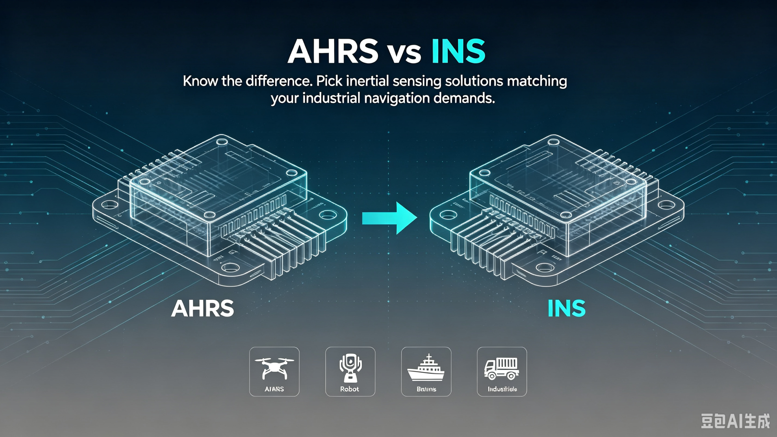
- Need orientation? → Choose AHRS.
- Need complete navigation? → Choose INS.
By understanding these differences and selecting a solution that matches your application, engineers can improve navigation performance, simplify system integration, and reduce long-term development costs.