

Quick Answer
Underground mines have no GPS, heavy magnetic interference, and a network of tunnels that all look the same. Mine navigation systems solve this with inertial sensors as the core, corrected by gyro compassing, odometry, and underground beacons where available. Vehicles, LHDs, and crews get continuous position and heading, which is what production scheduling, collision avoidance, and autonomous haulage depend on. When choosing a system, look at heading accuracy, how often it needs re-alignment, shock and temperature tolerance, and how it integrates with the vehicle.
On the surface, navigation is solved. GPS gives you position, a compass gives you direction, and the map on your phone puts them together. Underground, all three disappear. There is no satellite signal, steel and electrical equipment wreck the magnetic field, and a drift looks exactly like the last one you drove through.
Yet the trucks still haul ore, the drills still find their holes, and the crews still get out at the end of the shift. They do it with underground mine navigation systems, and the core of those systems is inertial sensing. This article explains why inertial is the foundation, which other sensors fill the gaps, and what to check before you buy.
Why Underground Navigation Is Hard
The challenges are not a version of the surface problem. They are a different problem.
No GNSS, and no substitute from the sky. Satellite signals stop at the portal. Any positioning approach that assumes GPS simply does not exist underground, so position has to come from inside the mine itself.
Magnetic interference is the norm. Steel arches, rails, cable trays, electrical equipment, and magnetic ore bodies distort the magnetic field everywhere in a working mine. A compass or magnetometer-based heading can be off by degrees without warning, and the error changes as the vehicle moves past different steel.
The environment is hostile to electronics. Dust, humidity, water spray, and temperature swings are constants. Navigation hardware lives in the same conditions as the machines, not in a clean control room.
The tunnels all look alike. A heading error of one degree becomes a big miss after a few hundred meters, and every junction offers a plausible-looking wrong turn. Without reliable heading and position, a vehicle cannot tell which branch it is on.
What Mine Navigation Actually Needs
Strip away the marketing and a mine navigation system answers two questions continuously: where is the vehicle, and which way is it pointing.
Position matters for production: which load came from which face, where the truck is in its cycle, whether the haul route is clear. Heading matters for the same reasons, but it matters more for safety and automation: collision avoidance needs to know what is ahead of the vehicle, and autonomous haulage needs to steer through intersections.
Both answers have to be continuous. Underground navigation is not a "check your position at the junction" activity. The system has to hold position and heading between whatever corrections exist, because that is exactly when a vehicle can take the wrong branch or a collision can happen.
The Sensor Stack, Layer by Layer
Inertial Sensing Is the Core
An inertial measurement unit (IMU) with gyroscopes and accelerometers measures rotation and acceleration hundreds of times per second, and integrates them into continuous position, velocity, and attitude. It needs no external signal, so it never drops out, and it works in dust, in darkness, and next to steel.
The weakness is drift. Over time, small sensor errors accumulate, and the position wanders unless something corrects it. This is why an inertial system underground is not "set and forget." It is the continuous backbone, and it needs periodic correction from the other layers.
Gyro Compassing Keeps Heading Honest
Heading is the measurement that drifts most on a moving vehicle, and it is also the one that matters most for navigation. Gyro compassing solves it: the vehicle stops briefly, the gyroscope integrates the Earth's rotation, and the system re-establishes true-north heading without any magnetic reference.
This is the same principle that mine gyro drill alignment instruments use, and it is what keeps an underground navigation system honest over a shift. The re-alignment is a routine part of the workflow, not a failure.
Odometry Bridges the Gaps
Wheel encoders and drive-train sensors measure how far the vehicle has traveled. Odometry alone drifts with wheel slip and tire wear, but fused with inertial data it significantly slows the drift between corrections. On LHDs and trucks, odometry is cheap, already available on the machine, and a natural partner for the IMU.
Magnetic Sensing, Used With Care
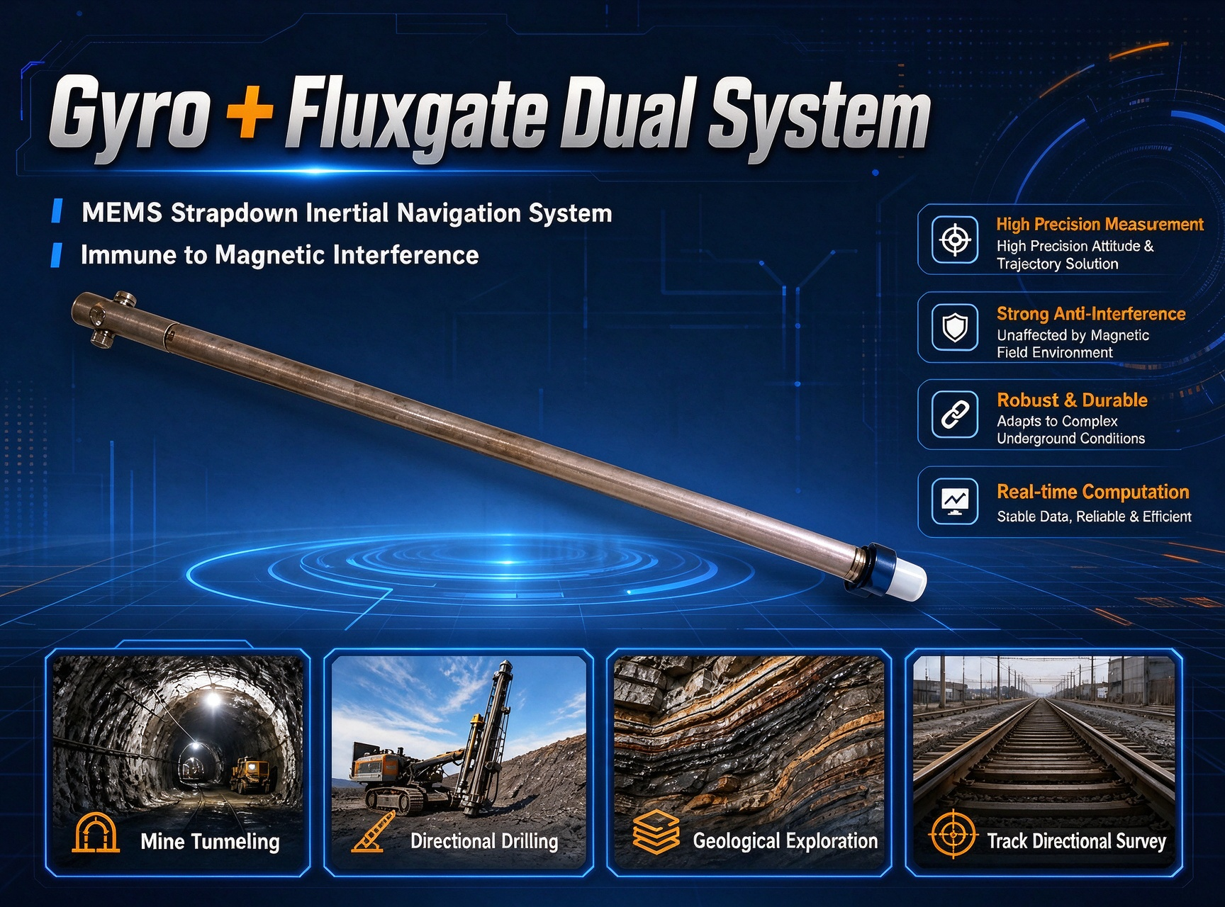
Fluxgate sensors work fine where the magnetic environment is stable, and some underground systems combine them with gyro data to get a free heading reference between gyro alignments. The dual-system approach, gyro plus fluxgate, gives you the reliability of gyro and the convenience of magnetic where the environment allows. But the magnetic part is only as good as the local field, so it is a supplement, never the foundation.
Beacons and Radio Systems Fill In
UWB, Wi-Fi, and RFID beacons installed at known points give the system absolute position fixes when the vehicle passes them. These systems are as good as their coverage, which is why they are used to correct inertial drift at key points rather than to navigate continuously. For equipment that only needs occasional position checks, a beacon-only approach can be enough. For continuous navigation, beacons are the correction layer.
LiDAR and Vision Add Context
LiDAR and camera systems match the vehicle's surroundings against a known map of the mine, which gives position corrections and helps with obstacle detection. They are powerful where the environment is recognizable and the map exists. Underground, dust, darkness, and changing faces make them intermittent, so they are used as an enhancement to inertial navigation, not a replacement.
The Jobs Underground Navigation Supports
Production Vehicle Tracking
LHDs, trucks, and drills move through the mine on schedules that depend on knowing where each machine is and where it is going. Position and heading data feed the production system, tell the dispatcher which load belongs to which face, and keep the fleet moving in the right order.
Collision Avoidance and Proximity Awareness
Collision avoidance needs reliable heading and position for the vehicle and the people around it. Inertial-based navigation gives both continuously, without depending on infrastructure coverage. When a vehicle approaches a person or another machine, the system has the data to warn the operator or slow the machine.
Autonomous and Tele-Remote Operation
Autonomous haulage and remote operation are where navigation accuracy really gets tested. The machine has to steer through intersections, stop at the right face, and report exactly where it is, all without an operator in the cab. That requires the continuous, drift-corrected position and heading that inertial navigation provides, with gyro compassing and beacon corrections keeping it honest.
Personnel Tracking and Safety
Tracking systems for people use wearable tags and the same beacon infrastructure, giving the control room a live picture of where the crew is. For safety, the navigation data also supports emergency response: if an incident happens, knowing where the vehicles and crews are makes the difference between a quick evacuation and a search.
Downhole Tool Trajectory
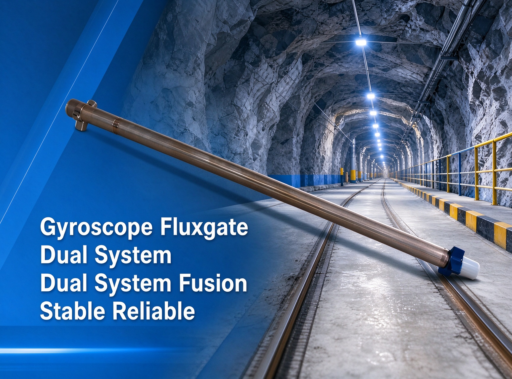
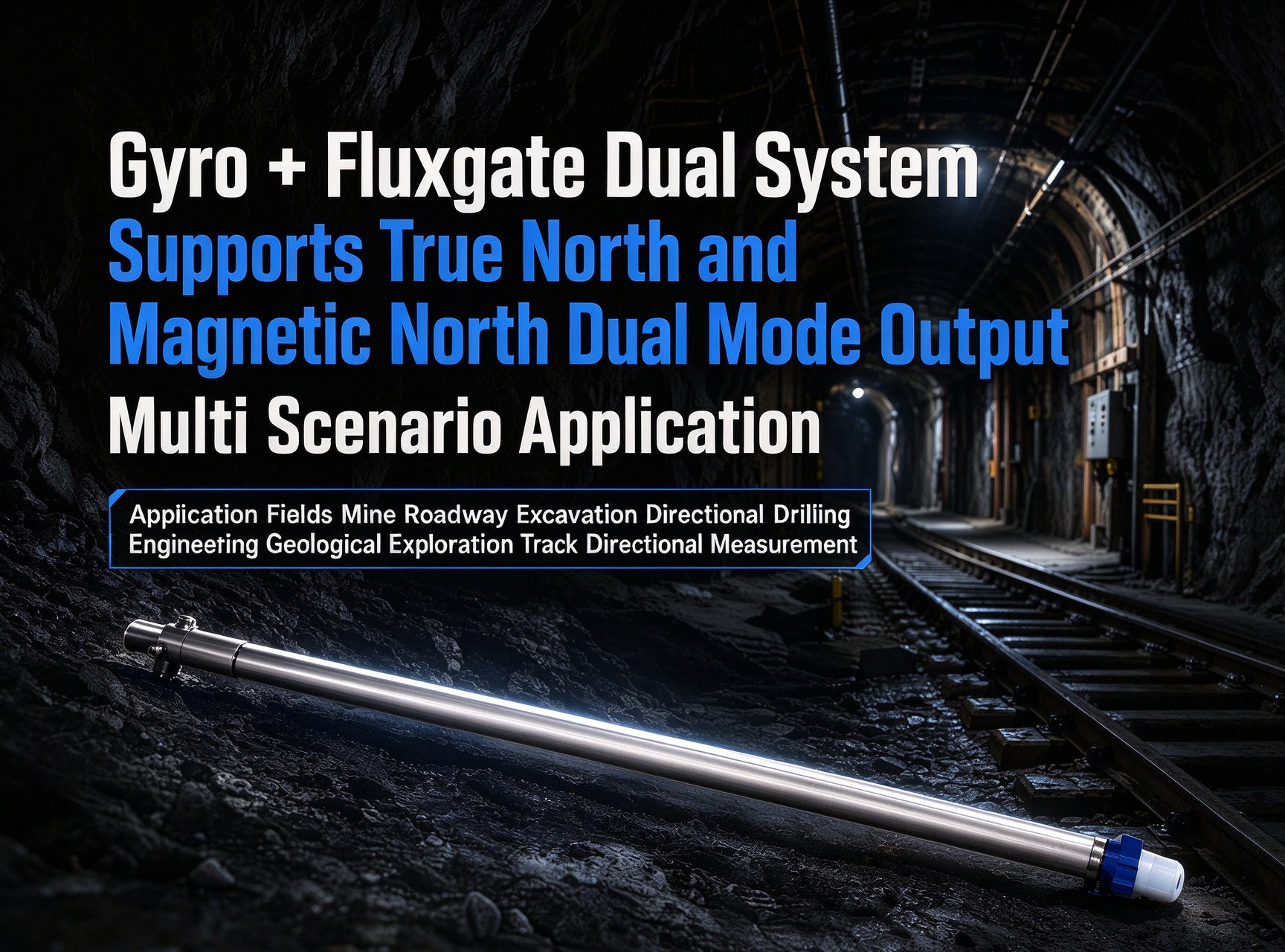
Navigation hardware also rides inside drill tools. A gyro-plus-fluxgate dual-system tracker, like the ER-GyroTracker-21 class, measures the trajectory of a borehole or tool path underground, which feeds back into the mine plan. It is the same inertial technology, packaged for downhole conditions instead of a vehicle.
What a Shift Looks Like With Mine Navigation
The best way to see what these systems do is to follow one machine through a shift.
An LHD starts its shift at the garage. It pulls up for a few minutes while the navigation system runs a gyro compassing routine, establishing true-north heading from the Earth's rotation. No beacons, no surface reference, just the machine and the rotation of the planet.
The LHD drives to the loading face. Along the way, the inertial core tracks position and heading continuously, and odometry from the wheels tightens the estimate. At a junction it passes under a beacon, and the system snaps its position to the known point, wiping out the small drift that has built up since the garage.
At the face, the LHD loads, then hauls the ore to the dump point. The dispatcher sees the machine's position and heading on the screen, knows which face the load came from, and sends it to the right tip. If another vehicle is approaching a narrow intersection, the collision avoidance system sees both positions and headings, and the operator gets a warning.
At the end of the shift, the machine returns to the garage. Its position is where the plan says it is, its heading matches the bay, and the shift's data joins the production record. Nothing in that routine required GPS. Every step ran on inertial navigation, corrected by the workflow the mine planned.
That routine is what the specs should add up to: heading accuracy that lasts, corrections that fit the shift, and data that reaches the dispatcher.
Sensor Roles at a Glance
|
Sensor layer
|
What it provides
|
Role underground
|
|
IMU / INS
|
Continuous position, velocity, attitude
|
Foundation; never drops out
|
|
Gyro compassing
|
True-north heading re-alignment
|
Keeps heading honest during stops
|
|
Odometry
|
Distance traveled from wheels/drive
|
Slows drift between corrections
|
|
Fluxgate / magnetic
|
Heading where field is stable
|
Supplement in benign areas
|
|
UWB / Wi-Fi / RFID beacons
|
Absolute position at known points
|
Correction layer, coverage-limited
|
|
LiDAR / vision
|
Map matching and obstacle data
|
Enhancement, environment-dependent
|
The dual-system idea deserves a closer look, because it shows how the layers cooperate. A gyro-plus-fluxgate package, like the ER-GyroTracker-21 class, runs the gyro as the reliable reference and the fluxgate as a free heading source where the magnetic environment is stable. The gyro holds the accuracy; the fluxgate reduces how often the system needs a gyro re-alignment. Both feed the same position and heading output, and the system logic decides which to trust where. It is the same cooperation between a stable foundation and a convenient supplement that every layer in the table follows.
What to Look For When Choosing
Heading Accuracy and Drift
Heading accuracy is the spec that decides whether the system works at all. Ask what heading accuracy the system holds between gyro alignments, and how often the vehicle has to stop for re-alignment. A system that needs a two-minute stop every ten minutes disrupts production. A system that holds heading for a full shift is a different product.
Shock, Vibration, and Temperature
Mine vehicles slam into muck piles, climb ramps, and vibrate continuously. The navigation hardware lives on the machine. Check the shock rating and the temperature range against the actual fleet, not the brochure.
Integration with the Machine
The system has to talk to the vehicle: CAN bus, J1939, Ethernet, or the interfaces the OEM already uses. Ask how the position and heading data reach the display, the control system, and the production server. A great navigation core that cannot connect to the fleet is a great lab instrument.
The Correction Workflow
Every underground system needs corrections. Understand the workflow before you buy: where the beacons are, how often gyro re-alignment happens, whether odometry is fused, and what the system does when corrections are missed. The workflow is the product.
Cost and Support
Navigation is infrastructure on wheels. Compare total cost, calibration needs, and the support channel over the fleet's lifetime, not just the unit price. Ask about spares, repair turnaround, and whether the vendor understands mining or just sells sensors.
Common Mistakes in Underground Navigation
Mistake 1: Building the system on magnetic heading. Underground, the magnetic field is distorted by steel and ore, and the error changes as the vehicle moves. Magnetic heading is a supplement, not a foundation.
Mistake 2: Treating inertial drift as a defect. Every inertial system drifts; the design question is how it is corrected. If the correction workflow is not planned, the drift will be blamed on the hardware that was never meant to run uncorrected.
Mistake 3: Buying a GPS navigation product for a mine. Surface navigation assumes satellites. Underground, the system that ignores that difference fails on the first shift.
Mistake 4: Ignoring the vehicle interface. If the position data cannot reach the control system in the format the fleet uses, the navigation system produces data nobody can act on.
Mistake 5: Under-specifying the environment. Dust, humidity, and shock kill hardware rated for a control room. Match the rating to the machine and the mine.
FAQ
A: How do mine vehicles navigate without GPS?
Q: They use inertial navigation as the core: gyroscopes and accelerometers measure motion continuously and integrate it into position and heading. Gyro compassing re-establishes true-north heading during stops, odometry slows drift, and underground beacons give absolute position fixes where coverage exists.
A: Why can't you use a compass underground?
Q: A compass reads the magnetic field, and the field underground is distorted by steel supports, electrical equipment, and magnetic ore. The reading can be off by degrees without warning, and the error changes as the vehicle moves.
A: What is the difference between IMU, INS, and a mine navigation system?
Q: An IMU is the raw sensor core. An INS adds the navigation computation, producing position, velocity, and attitude. A mine navigation system packages the INS with gyro compassing, odometry, beacon corrections, and the vehicle interface into something that works on a mine machine.
A: How often does the system need to re-align?
Q: It depends on the required heading accuracy and the vehicle dynamics. Systems that hold heading for a full shift are available, but the workflow, when to stop and for how long, is a specification you should ask for before buying.
A: Can underground navigation support autonomous vehicles?
Q: Yes. Autonomous haulage depends on continuous, drift-corrected position and heading, which is exactly what inertial navigation with gyro compassing and beacon corrections provides.
A: Is magnetic sensing ever useful underground?
Q: In areas with a stable magnetic environment, a fluxgate can supplement the gyro between alignments. The dual-system approach, gyro plus fluxgate, combines reliability with convenience, but the magnetic part is a supplement, never the foundation.
A: How much infrastructure does the system need?
Q: Less than you might think. The inertial core needs none, which is why it is the foundation. Beacons add absolute fixes where coverage exists, and gyro compassing needs only a scheduled stop. The infrastructure question is really a workflow question: how often the fleet can stop, and where beacons are worth installing.
Conclusion
Underground navigation is not a smaller version of surface navigation. With no GPS, a hostile magnetic environment, and tunnels that all look alike, it needs a system that is self-contained, continuous, and correctable. Inertial sensing is that system, with gyro compassing, odometry, and beacons keeping the drift in check.
The buying decision comes down to a few honest questions: heading accuracy between alignments, the correction workflow, shock and temperature tolerance, and whether the data reaches the machine and the fleet the way you need it. Get those right, and the navigation system becomes part of the production backbone rather than another box on the dashboard.
Tell us what machines you run, the accuracy your operations need, and how often the fleet can stop for re-alignment, and we will recommend the navigation core that fits, or tell you plainly what will not work in your mine.