

Quick Answer
Inertial navigation helps geophysical teams associate every sensor measurement with the platform’s position and orientation. When integrated with GNSS, an inertial navigation system combines satellite-based positioning with high-rate attitude and motion data. This is particularly useful for airborne magnetic and gravity surveys, ground-based traverses, and applications where positioning may be interrupted. Borehole surveys require a different approach because GNSS signals are unavailable underground; gyro-based tools are commonly used to determine azimuth and inclination. The right system depends on the survey method, sensor requirements, platform constraints, data rate, environmental conditions, and the accuracy needed from the final dataset.
Why Navigation Quality Matters in Geophysical Surveys
Geophysical exploration uses measurements of physical properties—including gravity, magnetism, seismic response and electromagnetic behavior—to help characterize the subsurface. These measurements become useful geological information only when they can be related reliably to their locations and, where necessary, to the orientation of the sensor.
A position error can shift a measurement away from its intended survey line or grid point. An attitude error can also affect the result: a tilted gravity instrument may record a different component of the gravity vector, while the orientation of a magnetometer can influence how its measurements are interpreted. If these errors are discovered during processing, a team may need to reprocess the data or repeat part of the survey.
For this reason, navigation is not simply a way to guide an aircraft, vehicle or survey crew. It is part of the measurement chain. Reliable position, heading and attitude data help survey teams align sensor observations, compare measurements across a site and produce maps that can support geological interpretation.
The navigation requirements are not identical for every project. Ground surveys may prioritize portability and reliable positioning along traverses. Airborne surveys often need high-rate attitude information synchronized with sensor measurements. Borehole work must determine the direction and inclination of a tool without relying on satellite reception underground.
How Inertial Navigation Works with GNSS
A GNSS receiver estimates position using signals from navigation satellites. An inertial measurement unit (IMU), by contrast, measures angular motion and acceleration using inertial sensors. An integrated GNSS/INS combines these sources to estimate a platform’s position, velocity and attitude.
The two technologies serve complementary purposes:
- GNSS provides an external position reference. Its performance depends on satellite visibility, signal quality, receiver configuration and the positioning method being used.
- The IMU measures motion and orientation changes at a high rate. Its data helps track roll, pitch, yaw and movement between GNSS updates.
- The integrated navigation solution combines the measurements. Depending on the system design and processing method, inertial data can help maintain a continuous solution during short GNSS interruptions.
An inertial system does not eliminate every positioning error, and its error can grow when it operates without GNSS for too long. The duration of useful GNSS-denied operation depends on the IMU’s performance, system architecture, initial conditions and motion. Survey teams should therefore evaluate actual outage performance rather than assume that every GNSS/INS can bridge the same gap.
Time synchronization is equally important. If navigation records and geophysical measurements use mismatched timestamps, even accurate sensor data may be assigned to the wrong position or orientation. A suitable system must fit the acquisition workflow as well as the platform.
Three Geophysical Survey Environments
1. Ground Geophysical Surveys
Ground teams may carry or tow magnetometers, gravity meters and electromagnetic instruments along planned traverses. Work can take place in forests, mountains, deserts and other areas where terrain or limited infrastructure complicates positioning.
GNSS is often the primary positioning source, but satellite reception can be degraded by tree cover, steep terrain, buildings or nearby sources of interference. Inertial measurements can add motion and attitude information and help bridge short interruptions, depending on the equipment and conditions.
Sensor orientation matters too. A magnetic instrument’s heading and alignment may affect the interpretation of its readings. Towed electromagnetic equipment may also require its geometry and orientation to be documented. The appropriate navigation setup depends on the instrument, the survey procedure and the accuracy specified for the final data.
For ground applications, practical considerations include equipment weight, battery life, ease of installation, data logging and the ability to integrate navigation records with the survey software. A compact system may be preferable for a crew walking long distances, while a vehicle-mounted platform may allow a different payload and power budget.
2. Airborne Geophysical Surveys
Airborne surveys use fixed-wing aircraft or unmanned aerial vehicles (UAVs) to collect measurements over planned flight lines. Common payloads include magnetometers, gravity instruments and gamma-ray spectrometers. The navigation solution helps connect each observation to the aircraft’s trajectory and attitude.
Position and attitude serve different but related purposes. Position indicates where a measurement was collected. Roll, pitch and yaw describe the aircraft’s orientation at that time. These attitude values can be essential for interpreting measurements, correcting for platform motion and reconstructing the sensor’s orientation during post-processing.
A GNSS/INS is therefore often a central component of airborne survey systems. GNSS contributes positioning, while the inertial unit supplies high-rate motion and attitude information. When satellite reception is briefly interrupted, the inertial solution may maintain continuity for a limited period. The actual result depends on system quality, outage duration and operating conditions.
Fixed-wing aircraft and UAVs impose different design constraints. Larger aircraft may accommodate more payload, power and cooling capacity. UAVs are often limited by weight, energy consumption and flight time. The goal is to select a navigation system that meets the project’s accuracy and data-output requirements without unnecessarily reducing survey endurance.
Before a campaign, teams should check antenna and IMU installation, lever-arm measurements, sensor alignment, timing, vibration, calibration procedures and the compatibility of output data with the acquisition system. These integration details can be as important as the headline specifications.
3. Borehole Geophysics and Well Logging
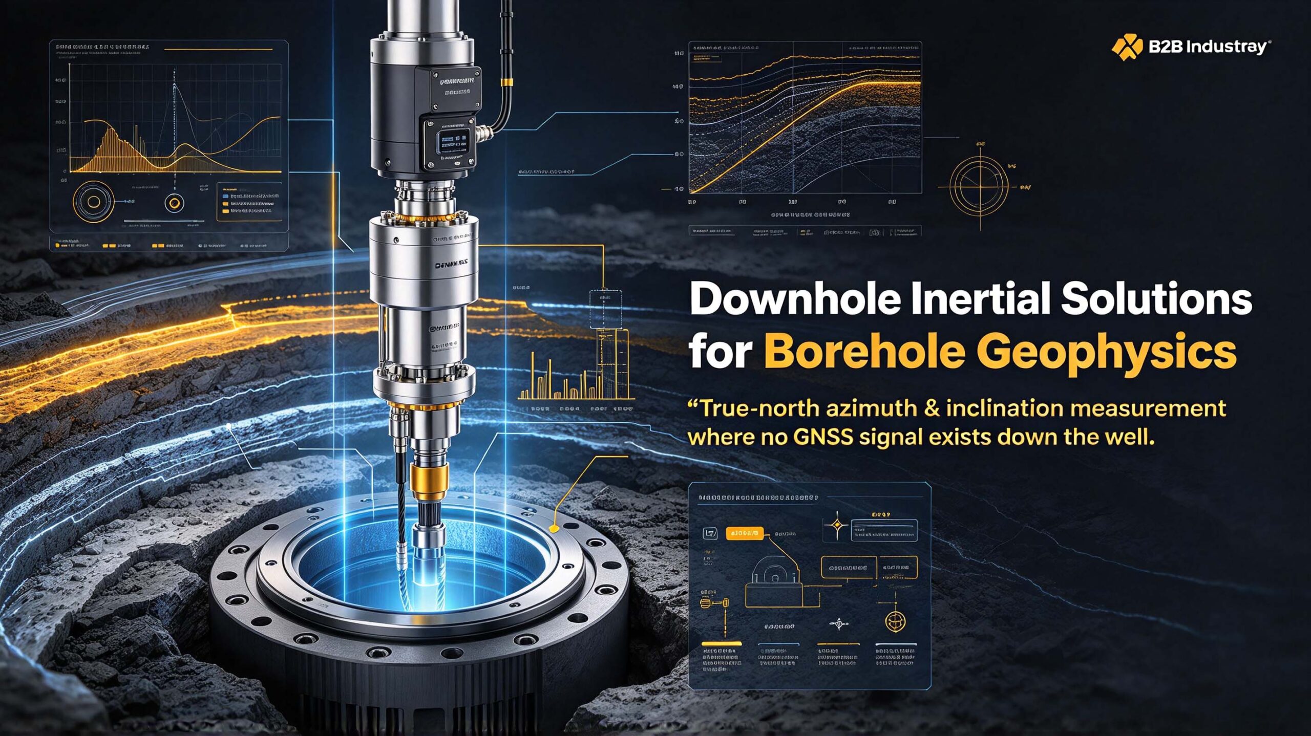
Borehole measurements introduce a different challenge: GNSS signals are generally unavailable at the measurement point underground. The survey must determine the tool’s direction and inclination and relate depth measurements to the surface reference system.
Gyro-based survey tools can determine azimuth without relying on the local magnetic field as a heading reference. Depending on the tool and survey method, magnetic sensors may also be used where conditions and required accuracy permit. The suitable method depends on the borehole environment, the required azimuth accuracy, nearby magnetic interference and the survey procedure.
The resulting borehole trajectory helps geologists understand where measurements were collected along the well and how the borehole runs through the formation. This is relevant to mineral exploration, mining and oil and gas operations, where reliable directional information supports the interpretation of downhole measurements.
Surface GNSS equipment alone cannot provide the complete downhole orientation solution. Borehole projects should use tools designed for downhole surveying and ensure that the measurements can be tied to the surface coordinates and depth reference.
GNSS vs. GNSS/INS: What Is the Difference?
A GNSS receiver can provide position, but it does not normally provide the complete high-rate attitude and motion solution required by many geophysical platforms. A GNSS/INS combines satellite positioning with inertial measurements to estimate position, velocity and attitude over time.
For survey teams, the key differences are:
- Attitude information: An integrated system can provide roll, pitch and yaw, subject to its design and performance.
- Motion tracking between GNSS updates: The IMU supplies high-rate measurements that help describe platform movement.
- Short GNSS interruptions: The inertial solution can help maintain continuity, although its error grows during an outage.
- Sensor-data synchronization: A properly integrated system can provide time-aligned navigation data for post-processing.
These capabilities do not mean that every geophysical survey requires the same grade of GNSS/INS. The required performance should be derived from the survey method, sensor sensitivity, platform motion, processing workflow and final deliverable.
Following an Airborne Survey from Planning to Processing
Consider an airborne magnetic survey. First, the team defines the survey area, flight-line direction, line spacing and altitude. The aircraft is then fitted with the magnetic sensor, GNSS antenna and inertial unit. Installation geometry, alignment and timing are checked before data collection begins.
During the flight, the acquisition system records magnetic measurements alongside GNSS and inertial data. If satellite reception briefly degrades, the integrated navigation system may continue to estimate motion and attitude for a limited interval. The quality of those estimates depends on the system and the length and severity of the interruption.
After the flight, processing software combines the navigation observations to calculate a trajectory and associate measurements with their positions and orientations. Depending on the workflow, corrections may be applied and the data may be transformed into a georeferenced map or grid. Missing records, incorrect timestamps or poor installation measurements can reduce the quality of the final product even when the geophysical sensor itself performs well.
Some projects use a GNSS base station at a known location to improve positioning during post-processing. The benefit depends on the GNSS configuration and processing method. A base station can help refine position estimates, but it does not replace the inertial measurements needed for attitude information.
The same general principle applies across other survey types: reliable results depend on the complete acquisition chain, from sensor mounting and time synchronization to navigation processing and final data validation.
Navigation Requirements at a Glance
| Survey environment | Typical navigation approach | Main inertial contribution | Key selection considerations |
|---|---|---|---|
| Ground traverse | GNSS, with inertial support where needed | Motion and attitude information; support during short GNSS interruptions | Portability, battery life, terrain and sensor orientation |
| Airborne magnetic or gravity survey | Integrated GNSS/INS | High-rate attitude and motion data; continuity during limited GNSS outages | Attitude performance, data rate, synchronization, vibration and payload |
| Borehole logging | Downhole gyro or other suitable directional survey tool, tied to surface references | Azimuth and inclination measurement | Downhole conditions, magnetic interference, required accuracy and tool integration |
These are general patterns rather than universal rules. The right configuration should be selected against the project’s measurement method and acceptance criteria.
What to Check When Selecting a Navigation System
Attitude Accuracy
Do not evaluate a system by position accuracy alone. For many airborne applications, roll, pitch and heading performance can affect how sensor measurements are corrected or interpreted. Ask for specifications under conditions relevant to the actual platform and clarify whether the figures refer to static tests, dynamic operation or a defined test procedure.
The required level of performance varies by sensor and survey objective. A gravity survey may have different attitude requirements from a regional reconnaissance magnetic survey, so avoid choosing a system solely by a headline number.
Data Rate and Timing
Navigation output must be frequent enough for the platform dynamics and geophysical sensor sampling rate. Timestamp quality and synchronization are just as important as the nominal output frequency. Confirm how the system timestamps its data, how it synchronizes with the acquisition computer and whether the output format fits the processing workflow.
GNSS-Outage Performance
Ask how the navigation solution behaves when satellite observations are interrupted, how error develops over time and what happens when GNSS becomes available again. Test conditions should resemble the survey environment as closely as practical. Do not assume that a system will maintain the same accuracy through every outage.
Platform Size, Weight and Power
A UAV may need a compact, low-power navigation unit to preserve flight time and payload capacity. A crew walking a ground traverse may prioritize portability and battery life. Larger aircraft or vehicle platforms may have more room for equipment. The system should fit the platform without compromising the project’s required data quality.
Environmental Resistance
Survey equipment may be exposed to vibration, shock, temperature changes, dust and moisture. Check the manufacturer’s environmental ratings against the conditions expected in the field. Also consider mounting stiffness and vibration isolation, since installation can influence the quality of inertial measurements.
Interfaces and Processing Support
Confirm that the navigation unit can exchange data with the acquisition hardware and software. Review output formats, timing signals, configuration tools, calibration procedures and post-processing support. A technically capable unit may still be unsuitable if it cannot be integrated reliably into the survey workflow.
Cost and Project Requirements
The highest-specification system is not automatically the most appropriate choice. A regional reconnaissance project may have different accuracy requirements from a detailed survey intended to guide drilling decisions. Define the deliverable and its acceptance criteria first, then compare systems against those requirements.
Cost should be assessed across the full survey, not just the purchase price. Repeated fieldwork, re-flights, data gaps and additional processing can add substantial expense. At the same time, a higher-grade navigation system is only justified when its capabilities address real project requirements.
Common Selection Mistakes
Choosing GNSS-only equipment for a task that needs attitude data. Position alone may not provide the orientation information needed to interpret or correct airborne measurements.
Ignoring GNSS-outage behavior. Ask how the solution performs during interruptions and how its error changes with time, rather than relying only on open-sky specifications.
Overlooking timing and data rate. Poor synchronization can misalign navigation records and sensor observations, reducing the usefulness of otherwise good measurements.
Applying surface-navigation assumptions to borehole work. GNSS cannot normally provide a direct position fix at a downhole measurement point. Use an appropriate borehole survey method and tie its results to surface references.
Selecting equipment before defining the workflow. The navigation system must suit the platform, sensor payload, acquisition software and processing method. Compatibility should be checked before deployment.
FAQ
Q: Why is inertial navigation useful in geophysical exploration?
A: It provides high-rate motion and attitude information and, when integrated with GNSS, helps associate sensor readings with the platform’s position and orientation. It can also help maintain a navigation solution during short GNSS interruptions, within the limits of the system.
Q: What is the difference between GNSS and GNSS/INS for geophysical surveys?
A: GNSS primarily provides satellite-based positioning. GNSS/INS combines GNSS with inertial measurements to estimate position, velocity and attitude. This combination is useful when the survey needs orientation data or continuity between GNSS updates.
Q: Do ground geophysical surveys need an inertial system?
A: Not every ground survey requires one. The need depends on terrain, GNSS availability, sensor orientation requirements and the accuracy specified for the deliverable. Inertial support may be valuable where motion or temporary satellite-signal interruptions matter.
Q: How is direction measured during borehole geophysics?
A: Because GNSS signals are generally unavailable underground, borehole trajectory surveys use downhole tools designed to measure direction and inclination. Gyro-based tools can determine azimuth without depending on a magnetic heading reference. The appropriate tool depends on site conditions and required accuracy.
Q: Which navigation specification matters most for airborne geophysics?
A: There is no single specification that suits every project. Attitude performance, position quality, data rate, timing, GNSS-outage behavior and environmental tolerance should all be assessed against the sensor and survey requirements.
Q: Can one navigation system serve airborne, ground and borehole surveys?
A: Some GNSS/INS systems may suit both airborne and ground platforms if their performance and integration requirements match. Borehole surveys usually require purpose-built downhole directional tools because GNSS reception is unavailable at the measurement point. A single device should not be assumed to fit all three environments.
Q: What is the difference between an IMU and a GNSS/INS?
A: An IMU measures angular motion and acceleration. A GNSS/INS integrates inertial measurements with GNSS observations to calculate a navigation solution, typically including position, velocity and attitude. The specific outputs and performance depend on the system.
Q: Does navigation quality affect the total cost of a survey?
A: Yes. Poor positioning, attitude data or synchronization can lead to additional processing, unusable measurements or repeated fieldwork. The most economical option is the one that reliably meets the project’s requirements not necessarily the lowest-priced unit or the highest-specification model.

Conclusion
Accurate geophysical interpretation depends on more than the sensor collecting the data. Measurements also need reliable position, orientation and timing information. For ground and airborne applications, GNSS integrated with inertial navigation can provide a more complete picture of platform movement than GNSS positioning alone. Borehole surveys, meanwhile, need suitable downhole directional tools and a reliable link to surface references.
When choosing a system, start with the survey objective and the final data requirements. Then evaluate attitude and position performance, data rate, synchronization, GNSS-outage behavior, environmental resistance and software compatibility. Matching these factors to the platform and sensor payload helps avoid unnecessary cost while protecting data quality.
If you are selecting a navigation solution for an aircraft, UAV, ground survey platform or borehole application, share your platform type, sensor payload and required accuracy with Ericco. These details help identify a suitable GNSS/INS or directional navigation solution for your application.