Inertial navigation System (INS) is a kind of autonomous navigation system that does not depend on external information and does not radiate energy to the outside. Its working environment includes not only air, ground, but also underwater. The basic working principle of inertial navigation is based on Newton's laws of mechanics. By measuring the acceleration of the carrier in the inertial reference frame, integrating it with time, and transforming it into the navigation coordinate system, information such as speed, yaw Angle and position can be obtained in the navigation coordinate system.
Platform type inertial navigation system: a three-axis gyro stabilization platform, the accelerometer is fixed on the platform, the sensitive axis is parallel to the platform axis, and the three stable axes of the platform simulate a navigation coordinate system. The structure is complicated, the volume is large, and the production cost is high.
Classification
Strapdown inertial navigation system: no stable platform, accelerometer and gyroscope are directly installed on the carrier, and the attitude matrix (pose update solution) is calculated in real time in the computer, that is, the relationship between the carrier coordinate system and the navigation coordinate system is calculated. Thereby, the accelerometer information of the carrier coordinate system is converted into information under the navigation coordinate system, and then the navigation calculation is performed. High reliability, high functionality, light weight, low cost, high precision and flexible use make SINS the mainstream of today's inertial navigation systems.
Attitude update solving is the key algorithm of strapdown inertial navigation. The traditional attitude updating algorithms include Euler angle method, direction cosine method and quaternion method. The quaternion method is simple and computationally small, so it is often used in engineering practice.
Analytic inertial navigation system
Semi-analytical inertial navigation system
Development
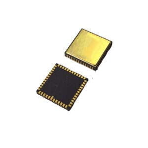
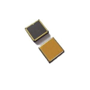
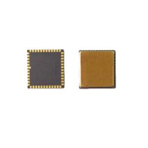
Gyroscope and accelerometer are indispensable core measurement devices in inertial navigation system. Modern high-precision inertial navigation system puts forward high requirements on the gyroscope and accelerometer used, because the drift error of gyroscope and the zero offset of accelerometer are the most direct and important factors affecting the accuracy of inertial navigation system.The launch of the ER-MG2-50/100 with 0.01-0.02°/hr bias instability and 0.0025-0.005°/√hr Angular Random Walk, is capable of measuring angular velocity up to a maximum of ±100°/s with digital output compliant to SPI slave mode 3 protocol and specially designed for north seeking, pointing, initial alignment in logging tools/gyro tools, mining/drilling equipment, weapon/UAV launch systems, satellite antenna,target tracking system and so on.
Advantages
1.Because it does not depend on any external information, nor does it radiate energy to the outside of the autonomous system, it has good concealment and is not affected by external electromagnetic interference.
2.It can work all weather and all time in the air, on the surface of the earth and even under water;
3.It can provide position, speed, heading and attitude Angle data, and the generated navigation information has good continuity and low noise.
High data update rate, short-term accuracy and stability.
Disadvantages
1.Due to the integration of navigation information generated, positioning error increases with time, long-term accuracy is poor;
2. Long initial alignment time is required before each use;
3. The price of equipment is more expensive;
4.Can not give time information.
If you want to get more details about INS,pls visit https://www.ericcointernational.com/inertial-navigation-system/
More Technical Questions
1.Inertial Navigation System (INS)
2.What is Inertial Navigation System?
3.What is INS and How does it Work?
4.In Autonomous Flight: How Inertial Navigation Systems Work
5.Development and Application of Inertial Navigation System
6.Introduction to Inertial Navigation Systems
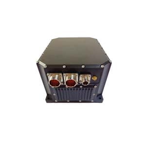
Products in Article