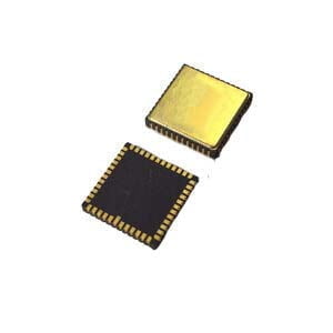
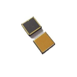
Inertial navigation is a technology to obtain instantaneous velocity and position data of the aircraft by measuring the acceleration of the aircraft and automatically performing integral calculation. The inertial navigation system consists of equipment installed in the body of the carrier. When working, it does not rely on external information or radiate energy to the outside world and is not easily disturbed. It is an autonomous navigation system.
Advantages and disadvantages of integrated navigation
Integrated navigation system combining a variety of navigation system of information, can provide including posture as the carrier, such as speed and position of the whole navigation information.The navigation data output frequency is higher, the precision of the navigation information than the single navigation system of high precision, all kinds of data fusion navigation system, to achieve complementary advantages, in each light combined navigation system,the system does not affect each other.Inertial navigation system is through the internal inertial equipment (gyroscope, accelerometer), to obtain the current orientation information, is closed, do not need to communicate with the outside world, so its independence is strong. The defect is that as the navigation continues, errors will occur in the inertial navigation (caused by temperature change and vibration, which can be compensated by the algorithm). In the integrated positioning navigation system, errors can be corrected in the inertial system through the timing of the satellite positioning system information, and when the satellite signal cannot be borne, the error of the inertial system can be corrected. Inertial orientation navigation system can also ensure the accuracy of navigation information in a certain time.
Weakness: when deep combination, if you can't correct judgment in a timely manner and isolate the malfunction of the system, will affect other navigation performance of the system, of course, also need timely judgments and isolation in the shallow combination anomalies of navigation system, avoid to affect precision of integrated navigation, improve the stability and reliability of the system.
GPS navigation system
GPS navigation has the characteristics of high accuracy and communication, but it needs to obtain information from the outside world.GPS is to receive the signal sent by the satellite to calculate their position, when the mobile phone and other GPS devices above the occlusion, the GPS device can not locate. Met obstructions such as our common roof, bridge, building, tunnel, etc., can through the speed, time, distance relationship at this time, according to the last time the GPS signal computing speed, to estimate the location of may, if in a tunnel, and elevated bridge lower location without changing the speed of the vehicle, this method can be very good to realize the navigation, but if the slowdown, will appear on the map quickly ran to the tunnel at the end of the parking lots, and then stopped to wait. On the other hand, if you accelerate, you're halfway through the parking space, and then you suddenly jump out of the tunnel.
Integrated navigation system combining a variety of navigation system of information, can provide including posture as the carrier, such as speed and position of the whole navigation information, the navigation data output frequency is higher, the precision of the navigation information than the single navigation system of high precision, all kinds of data fusion navigation system, to achieve complementary advantages, in each light combined navigation system, the system does not affect each other.
Weakness: when deep combination, if you can't correct judgment in a timely manner and isolate the malfunction of the system, will affect other navigation performance of the system, of course, also need timely judgments and isolation in the shallow combination anomalies of navigation system, avoid to affect precision of integrated navigation, improve the stability and reliability of the system.
If you want to get more details about GPS navigation, pls visit https://www.ericcointernational.com/gnss-board
More Technical Questions
1.Application of IMU in UAV Flight Control System
2.Feasibility Analysis of MEMS Gyro North Seeking
3.What is MEMS Gyro Sensor?
4.How do MEMS gyroscopes work?
5.The Working Principle of Gyroscope and its Application in Aerospace
6.How to Select Gyroscopes
Products in Article